Kings Highway, New York City

Gallery (4)
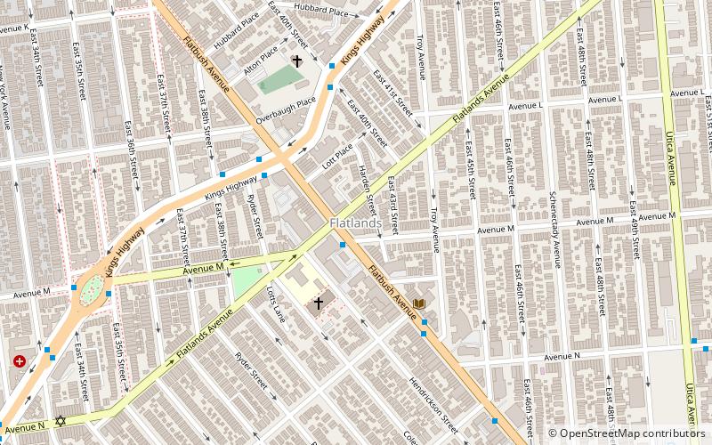
Map

Map
Gallery
Facts and practical information
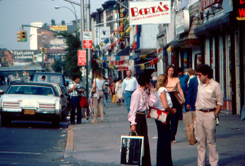
Kings Highway is a broad avenue that curves about the southern part of the Borough of Brooklyn in New York City. Its west end is at Bay Parkway and 78th Street. East of Ocean Avenue, the street is largely residential. It tracks eastward, then northeast, then north through Brooklyn and reaches East 98th Street in central Brooklyn. At that point, it flows into Howard Avenue to provide seamless access to Eastern Parkway, another major road in Brooklyn with side medians and service roads. ()
Coordinates: 40°37'9"N, 73°56'31"W
Address
Southeastern Brooklyn (Flatlands)New York City
ContactAdd
Social media
Add
Getting there by public transportation
Public transportation stops near this location
- Metro
 Metro
Metro
- Calculate routeAvenue M 24 min walk
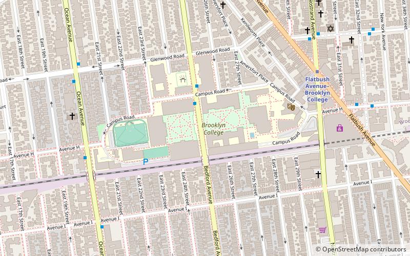
- Calculate routeFlatbush Avenue–Brooklyn College 25 min walk
- Calculate routeKings Highway 28 min walk
Maps SubwayMaps
 Manhattan Buses
SubwayMapsManhattan BusesDay trips


Frequently Asked Questions (FAQ)
Which popular attractions are close to Kings Highway?
Nearby attractions include Kingsway Jewish Center, New York City (9 min walk), Flatlands, New York City (11 min walk), Flatlands Dutch Reformed Church, New York City (12 min walk), Joost Van Nuyse House, New York City (16 min walk).
How to get to Kings Highway by public transport?
The nearest stations to Kings Highway:
Metro
Metro
- Avenue M • Lines: Q (24 min walk)
- Flatbush Avenue–Brooklyn College • Lines: 2, 5 (25 min walk)