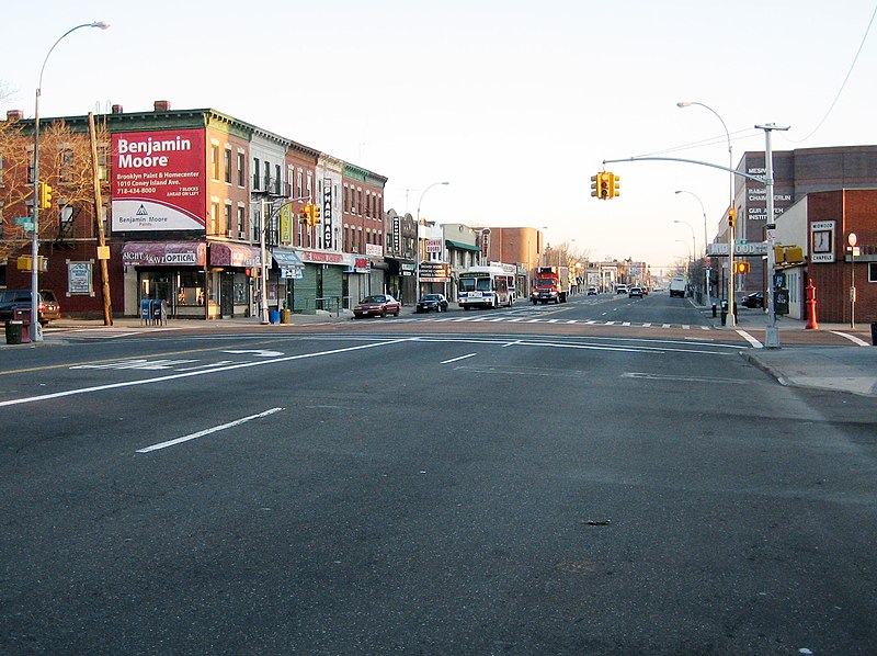
Coney Island Avenue, New York City

Facts and practical information
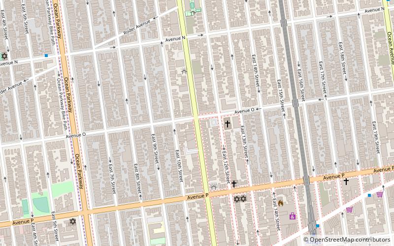
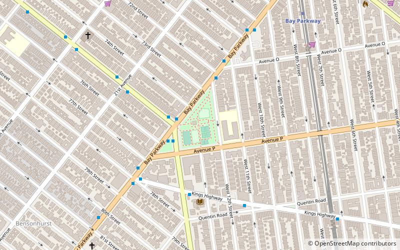
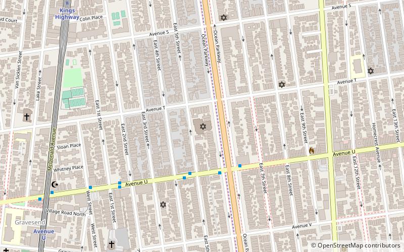
Coney Island Avenue is a road in the New York City borough of Brooklyn that runs north-south for a distance of roughly five miles, almost parallel to Ocean Parkway and Ocean Avenue. It begins at Brighton Beach Avenue in Coney Island and goes north to Park Circle at the southwest corner of Prospect Park, where it becomes Prospect Park Southwest. Near-parallel Ocean Parkway terminates five blocks south and three blocks west of that intersection, becoming the Prospect Expressway. Ocean Parkway originally extended north to Park Circle, where Coney Island Avenue meets Prospect Park, until construction of the Prospect Expressway replaced the northern half-mile of Ocean Parkway but included ramps to the edge of Prospect Park. ()
Central Brooklyn (Midwood)New York City
- Metro
 Metro
Metro
- Calculate routeKings Highway 9 min walk
- Calculate routeAvenue M 11 min walk
 SubwayMaps
 Manhattan Buses


Frequently Asked Questions (FAQ)
Which popular attractions are close to Coney Island Avenue?
How to get to Coney Island Avenue by public transport?
Metro
- Kings Highway • Lines: B, Q (9 min walk)
- Avenue M • Lines: Q (11 min walk)