John H. Lewis Gymnasium, Atlanta
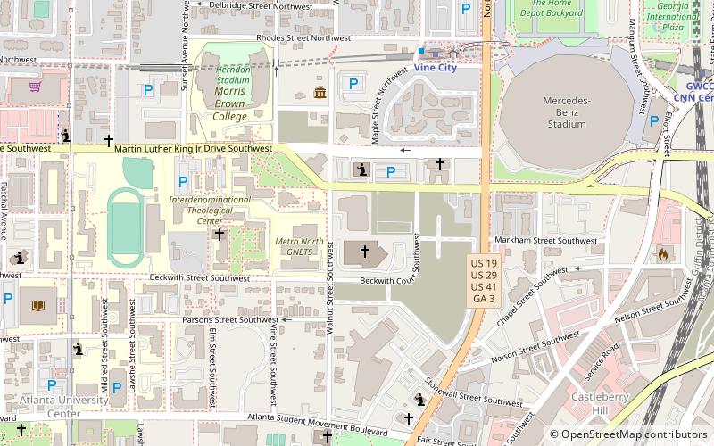
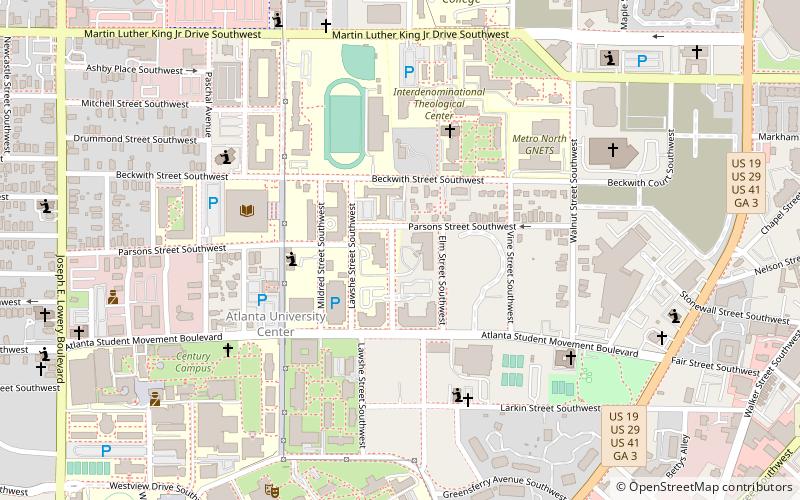
Map
Facts and practical information
The John H. Lewis Gymnasium is a 7,000 seat venue on the campus of Morris Brown College. It was home to the Atlanta Thoroughbreds National Indoor Football League team, and in the fall of 2007 will be home to the Atlanta Krunk Wolverines Continental Basketball Association team. ()
Coordinates: 33°45'12"N, 84°24'21"W
Address
Intown South (Atlanta University Center)Atlanta
ContactAdd
Social media
Add
Getting there by public transportation
Public transportation stops near this location
- Metro
- Bus
- Tram
 Metro
Metro
- Calculate routeVine City 7 min walk
- Calculate routeGWCC/CNN Center 15 min walk
- Calculate routeGarnett 17 min walk
- Calculate routeAshby 18 min walk
- Calculate routeAtlanta Greyhound Bus Station 17 min walk
- Calculate routeVillage Smoke 37 min walk
- Calculate routeCentennial Olympic Park 24 min walk
- Calculate routeLuckie at Cone 25 min walk
- Calculate routePark Place 27 min walk
- Calculate routeCarnegie at Spring 27 min walk
Day trips
John H. Lewis Gymnasium – popular in the area (distance from the attraction)
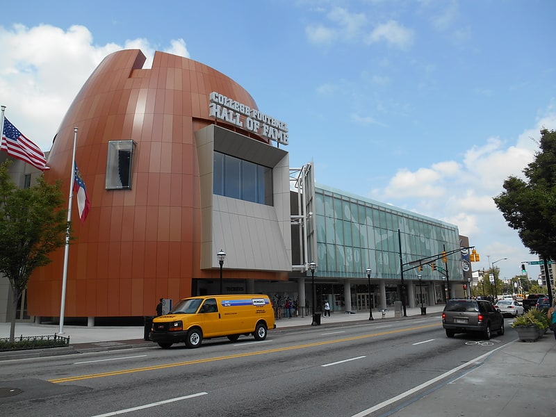
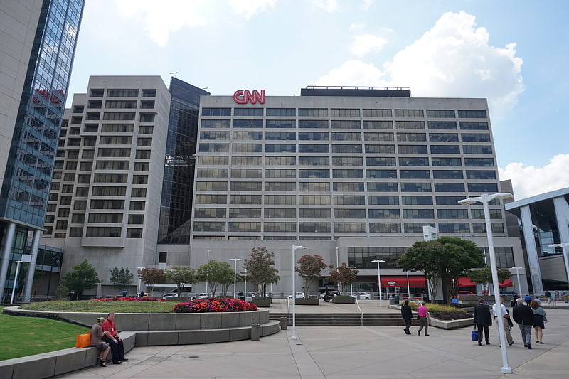
Nearby attractions include: College Football Hall of Fame, Philips Arena, CNN Center, Mercedes-Benz Stadium.


Frequently Asked Questions (FAQ)
Which popular attractions are close to John H. Lewis Gymnasium?
Nearby attractions include Hope Moving Forward, Atlanta (4 min walk), Herndon Home, Atlanta (5 min walk), Clark Atlanta University, Atlanta (8 min walk), Mercedes-Benz Stadium, Atlanta (9 min walk).
How to get to John H. Lewis Gymnasium by public transport?
The nearest stations to John H. Lewis Gymnasium:
Metro
Bus
Tram
Metro
- Vine City • Lines: Blue, Green (7 min walk)
- GWCC/CNN Center • Lines: Blue, Green (15 min walk)
Bus
- Atlanta Greyhound Bus Station (17 min walk)
- Village Smoke • Lines: Blue Route (37 min walk)
Tram
- Centennial Olympic Park • Lines: Atlanta Streetcar (24 min walk)
- Luckie at Cone • Lines: Atlanta Streetcar (25 min walk)