The Masquerade, Atlanta
Map
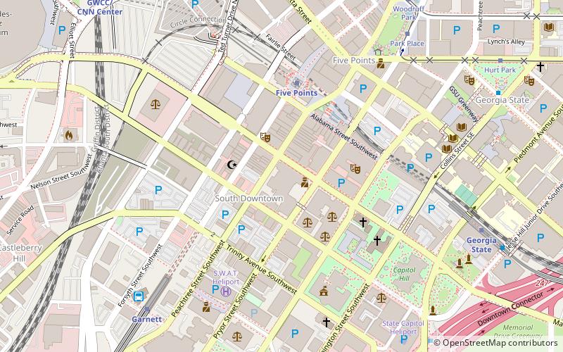
Map

Facts and practical information
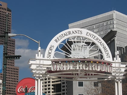
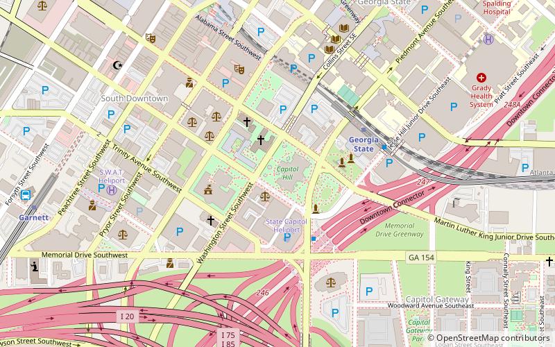
The Masquerade is a mid-sized concert venue located in Atlanta, Georgia, United States. It is located in Kenny's Alley, the lowest level of Underground Atlanta. The address for the parking deck and entrance is 75 Martin Luther King Jr, DR, SW. ()
Coordinates: 33°45'6"N, 84°23'31"W
Address
Downtown Atlanta (South Downtown)Atlanta
ContactAdd
Social media
Add
Day trips
The Masquerade – popular in the area (distance from the attraction)
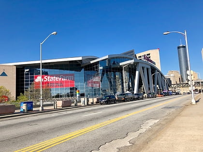
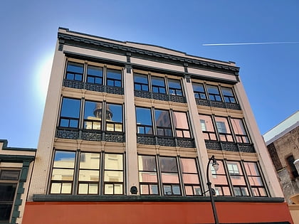
Nearby attractions include: Philips Arena, Centennial Olympic Park, M. Rich Building, Equestrian statue of John Brown Gordon.
Frequently Asked Questions (FAQ)
Which popular attractions are close to The Masquerade?
Nearby attractions include Whitehall Street Retail Historic District, Atlanta (2 min walk), Murmur, Atlanta (2 min walk), The Mammal Gallery, Atlanta (2 min walk), South Downtown, Atlanta (3 min walk).
How to get to The Masquerade by public transport?
The nearest stations to The Masquerade:
Metro
Bus
Tram
Metro
- Five Points • Lines: Blue, Gold, Green, Red (5 min walk)
- Garnett • Lines: Gold, Red (9 min walk)
Bus
- Atlanta Greyhound Bus Station (9 min walk)
Tram
- Park Place • Lines: Atlanta Streetcar (9 min walk)
- Woodruff Park • Lines: Atlanta Streetcar (10 min walk)

