Mist Trail, Yosemite National Park

Gallery (2)
Map
Map
Gallery
Facts and practical information
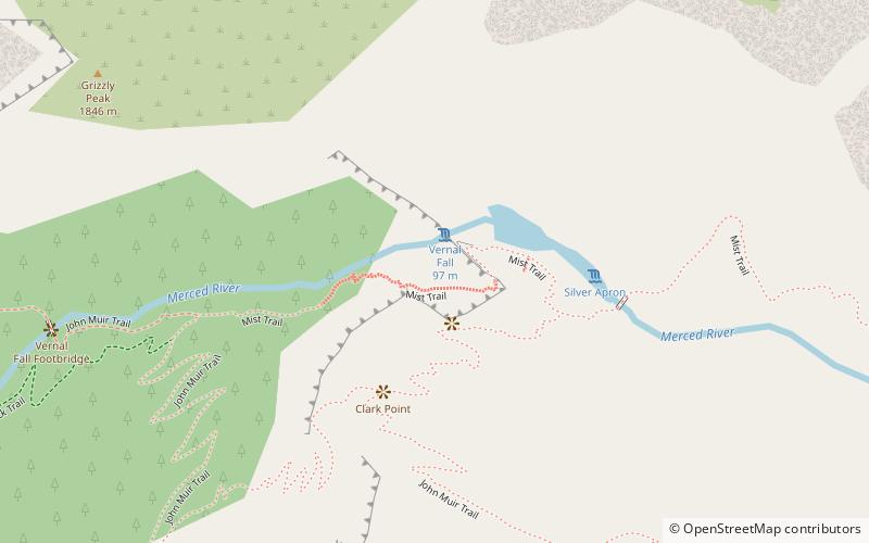
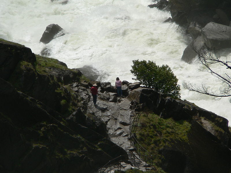
The Mist Trail is one of the most popular short hikes in Yosemite National Park, California, USA. The steep hike follows the Merced River, starting at Happy Isles in Yosemite Valley, past Vernal Fall and Emerald Pool, to Nevada Fall. ()
Length: 7 miMinimal elevation: 4000 ftCoordinates: 37°43'37"N, 119°32'38"W
Getting there by public transportation
Public transportation stops near this location
- Bus
 Bus
Bus
- Calculate routeValley Shuttle Stop #16 25 min walk
Day trips


Frequently Asked Questions (FAQ)
Which popular attractions are close to Mist Trail?
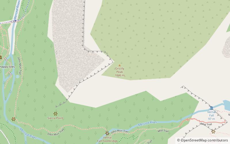
Nearby attractions include Vernal Fall, Yosemite West (1 min walk), Emerald Pool, Yosemite National Park (4 min walk), Grizzly Peak, Yosemite National Park (11 min walk), Sierra Point, Yosemite National Park (16 min walk).
How to get to Mist Trail by public transport?
The nearest stations to Mist Trail:
Bus
Bus
- Valley Shuttle Stop #16 • Lines: Yosemite Valley Shuttle (25 min walk)