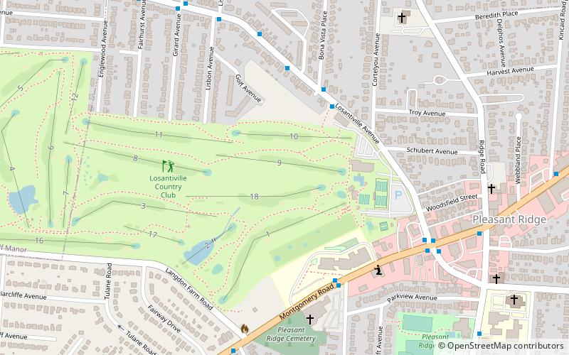
Losantiville Country Club, Cincinnati

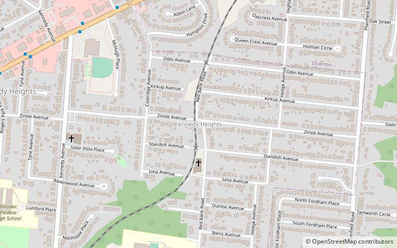
Map
Facts and practical information
Losantiville Country Club is a private Country Club founded in 1913 located in Cincinnati, Ohio, which operates golf, tennis and platform tennis, and swimming facilities, and provides food, beverages and services. ()
Coordinates: 39°11'1"N, 84°25'53"W
Getting there by public transportation
Public transportation stops near this location
- Bus
 Bus
Bus
- Calculate routeLosantiville Ave 2917 3 min walk
Day trips

Frequently Asked Questions (FAQ)
Which popular attractions are close to Losantiville Country Club?
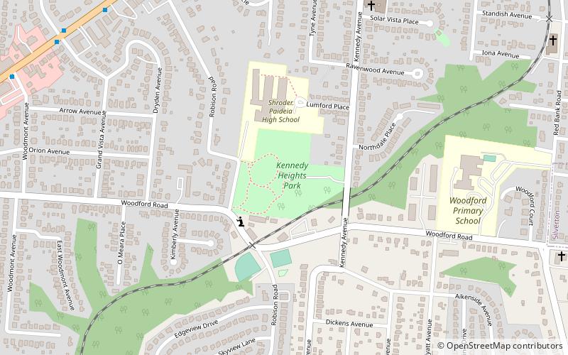
Nearby attractions include Pleasant Ridge, Cincinnati (3 min walk), Kennedy Heights Park, Cincinnati (21 min walk).
How to get to Losantiville Country Club by public transport?
The nearest stations to Losantiville Country Club:
Bus
Bus
- Losantiville Ave 2917 • Lines: 41 (3 min walk)