Pleasant Ridge, Cincinnati
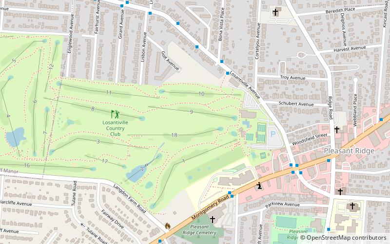
Map
Facts and practical information
Pleasant Ridge is a mostly gaslight residential neighborhood in Cincinnati, Ohio with a small business district occupied largely by long-standing, independent businesses. It is one of the most diverse, dispersed and durable communities in the entire region according to a 2008 study of 122 communities conducted by the Cincinnatus Association. The population was 8,083 at the 2010 census. ()
Coordinates: 39°11'0"N, 84°26'0"W
Address
Pleasant RidgeCincinnati
ContactAdd
Social media
Add
Getting there by public transportation
Public transportation stops near this location
- Bus
 Bus
Bus
- Calculate routeLosantiville Ave 2917 4 min walk
- Calculate routeMontgomery Rd & Lester Rd 5 min walk
Day trips


Frequently Asked Questions (FAQ)
How to get to Pleasant Ridge by public transport?
The nearest stations to Pleasant Ridge:
Bus
Bus
- Losantiville Ave 2917 • Lines: 41 (4 min walk)
- Montgomery Rd & Lester Rd • Lines: 4 (5 min walk)