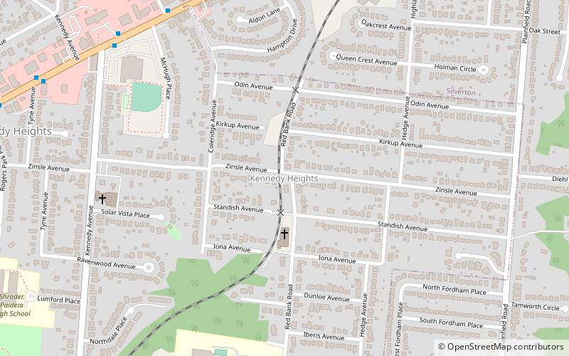
Kennedy Heights Park, Cincinnati
Map
Facts and practical information
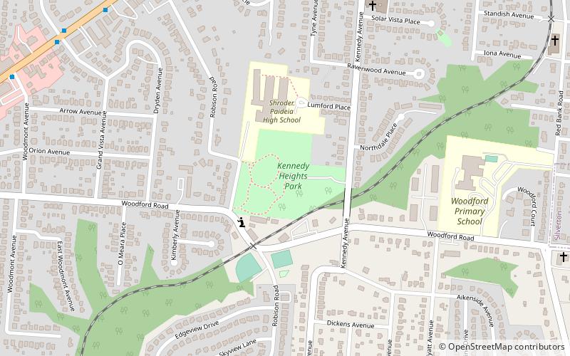
Kennedy Heights Park is an urban park in the Kennedy Heights neighborhood of Cincinnati, Ohio, United States. The 12.4-acre park was established in 1930. It features an historic 1937 shelter, playground and soccer field. ()
Elevation: 761 ft a.s.l.Coordinates: 39°10'52"N, 84°24'59"W
Address
Kennedy HeightsCincinnati
ContactAdd
Social media
Add
Getting there by public transportation
Public transportation stops near this location
- Bus
 Bus
Bus
- Calculate routeMontgomery Rd & Robison Rd 10 min walk
Day trips


Frequently Asked Questions (FAQ)
Which popular attractions are close to Kennedy Heights Park?
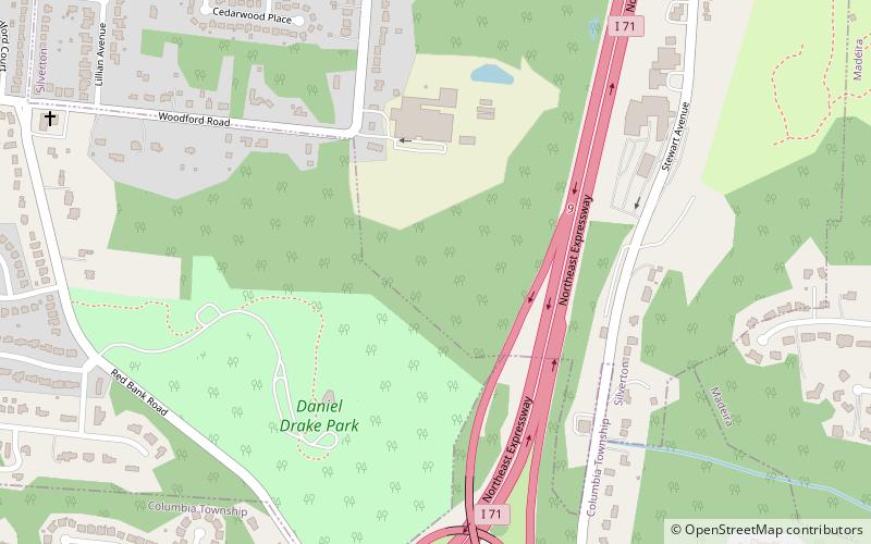
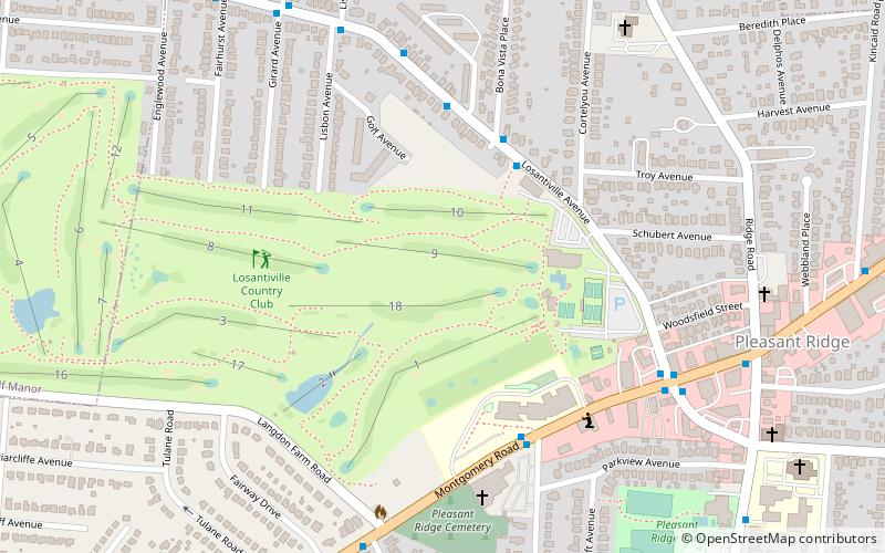
Nearby attractions include Kennedy Heights, Cincinnati (14 min walk), Daniel Drake Park, Cincinnati (24 min walk), Pleasant Ridge, Cincinnati (24 min walk).
How to get to Kennedy Heights Park by public transport?
The nearest stations to Kennedy Heights Park:
Bus
Bus
- Montgomery Rd & Robison Rd • Lines: 4 (10 min walk)