Metropolitan Opera House, Philadelphia
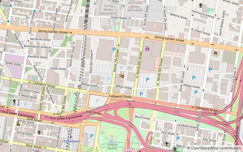
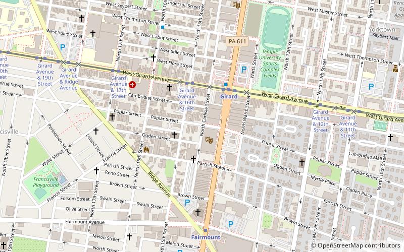
Map
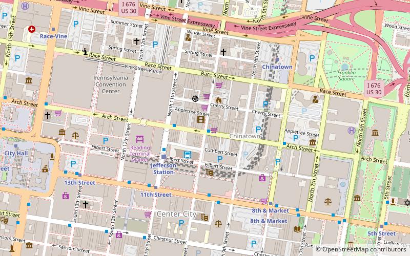
Map

Facts and practical information
The Metropolitan Opera House is a historic opera house located in Philadelphia, Pennsylvania. It has been used for many different purposes over its history. Now known as The Met, the theatre reopened in December 2018, after a complete renovation, as a concert venue. It is managed by Live Nation Philadelphia. ()
Opened: 17 November 1908 (117 years ago)Capacity: 3500Coordinates: 39°58'13"N, 75°9'38"W
Day trips
Metropolitan Opera House – popular in the area (distance from the attraction)
Nearby attractions include: Reading Terminal Market, Eastern State Penitentiary, Franklin Music Hall, Arch Street Theatre.
Frequently Asked Questions (FAQ)
Which popular attractions are close to Metropolitan Opera House?
Nearby attractions include Girard Avenue Historic District, Philadelphia (4 min walk), Lower North Philadelphia Speculative Housing Historic District, Philadelphia (7 min walk), Fairmount Avenue Historic District, Philadelphia (7 min walk), Edwin Forrest House, Philadelphia (8 min walk).
How to get to Metropolitan Opera House by public transport?
The nearest stations to Metropolitan Opera House:
Tram
Metro
Train
Tram
- Girard Avenue & 16th Street • Lines: 15 (3 min walk)
Metro
- Girard • Lines: Bsl (3 min walk)
- Fairmount • Lines: Bsl (8 min walk)
Train
- Temple University (25 min walk)
- Suburban Station (30 min walk)

 SEPTA Regional Rail
