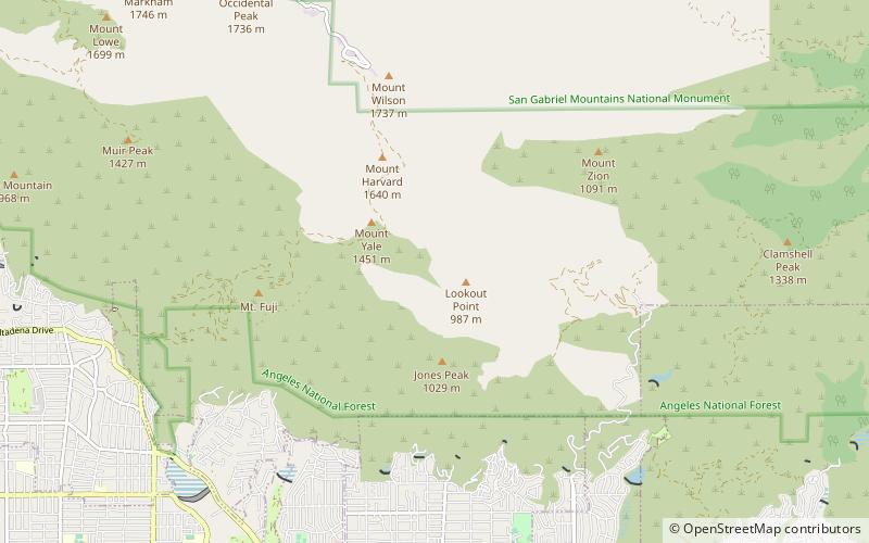
Sam Merrill Trail, Angeles National Forest
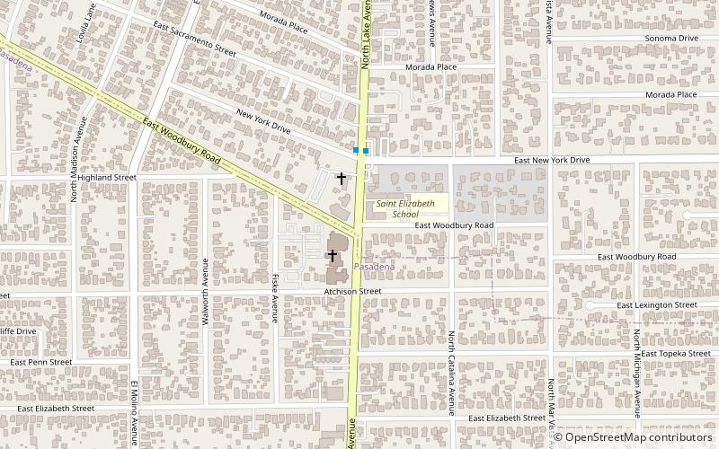
Map
Facts and practical information
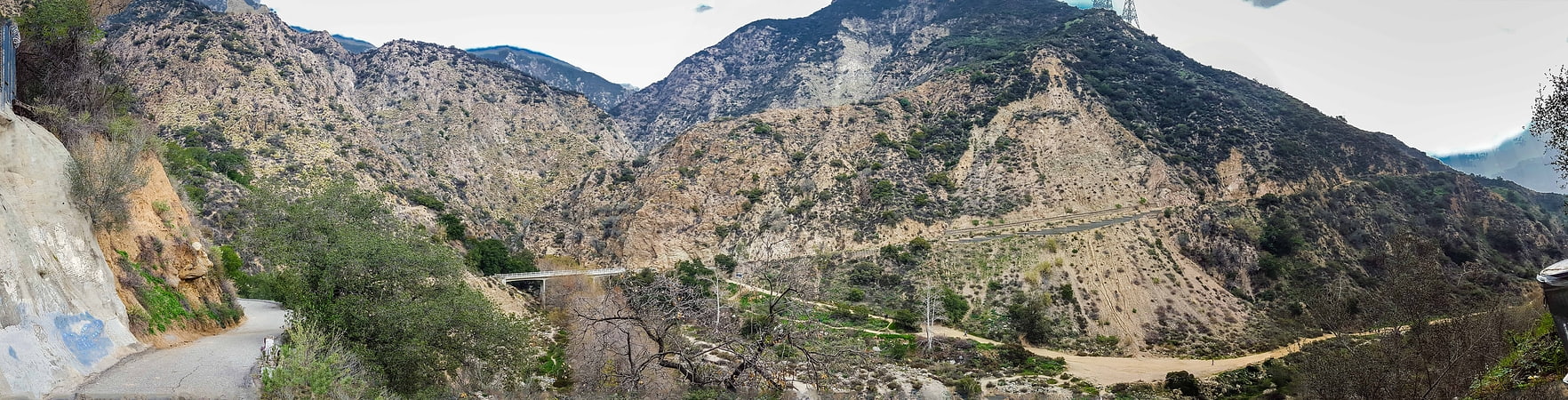
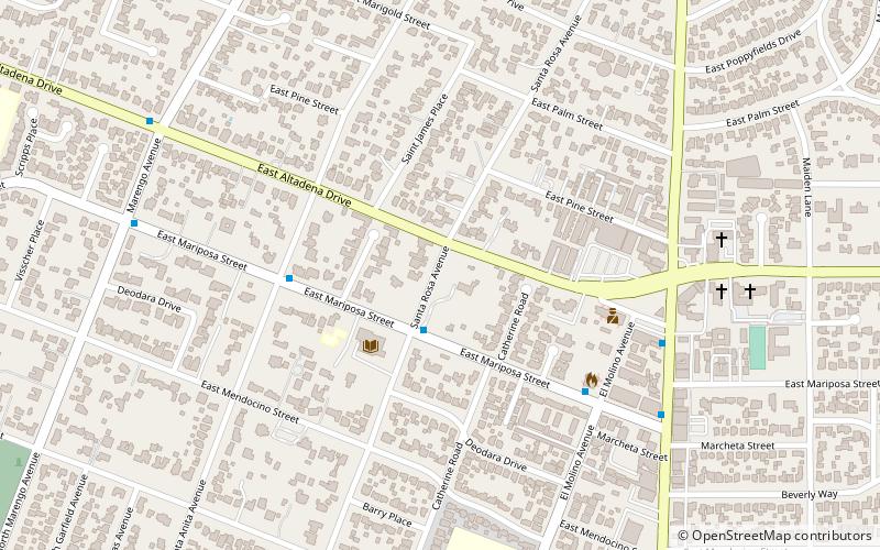
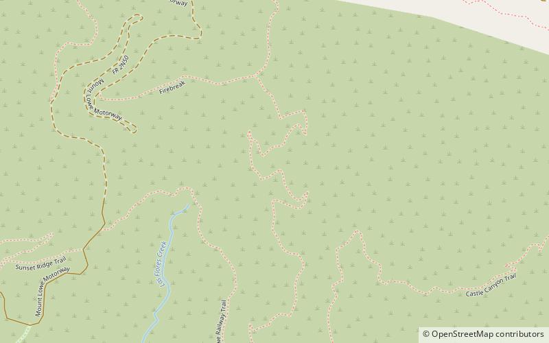
The Sam Merrill Trail is a major hiking trail in the Las Flores Canyon of the San Gabriel Mountain Range north of Altadena, California, which leads to the top of Echo Mountain. It was built by Charles Warner and the Forest Conservation Club of Pasadena during the 1930s. After the deluge of 1938 most of the trails that accessed the mountain sides around Echo Mountain and the Mount Lowe Railway had been all but washed away. Sam Merrill found it important to maintain public hiking access to the railway ruins and other portions of the treacherous foothill. During the 1940s he overhauled and maintained the trail. ()
Length: 2.55 miMaximum elevation: 3050 ftCoordinates: 34°13'11"N, 118°7'16"W
Address
Angeles National Forest
ContactAdd
Social media
Add
Day trips