The Earl, Atlanta
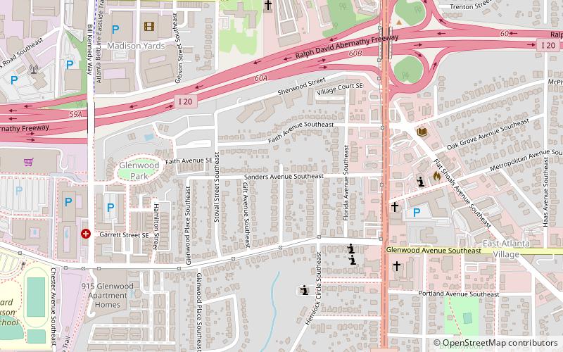
Map
Facts and practical information
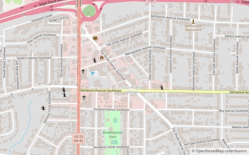
The EARL is an alternative music venue in Atlanta, Georgia, located on Flat Shoals Avenue in the neighborhood of East Atlanta. ()
Opened: 1999 (27 years ago)Coordinates: 33°44'27"N, 84°20'46"W
Getting there by public transportation
Public transportation stops near this location
- Metro
 Metro
Metro
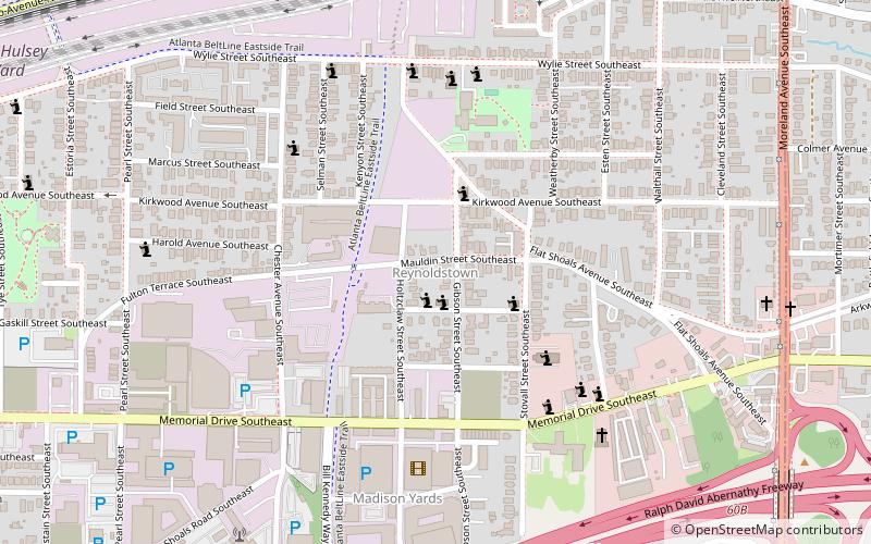
- Calculate routeInman Park/Reynoldstown 32 min walk
Day trips


Frequently Asked Questions (FAQ)
When is The Earl open?
The Earl is open:
- Monday 11:30 am - 3 am
- Tuesday 11:30 am - 3 am
- Wednesday 11:30 am - 3 am
- Thursday 11:30 am - 3 am
- Friday 11:30 am - 3 am
- Saturday 11:30 am - 12 am
- Sunday 11:30 am - 12 am
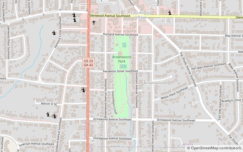
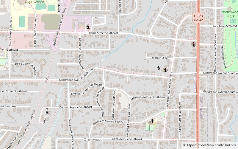
Which popular attractions are close to The Earl?
Nearby attractions include East Atlanta Village, Atlanta (2 min walk), Brownwood Park, Atlanta (8 min walk), North Ormewood Park, Atlanta (10 min walk), Ormewood Park, Atlanta (18 min walk).
How to get to The Earl by public transport?
The nearest stations to The Earl:
Metro
Metro
- Inman Park/Reynoldstown • Lines: Blue, Green (32 min walk)