North Ormewood Park, Atlanta

Map
Facts and practical information
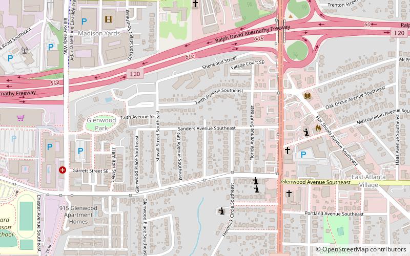
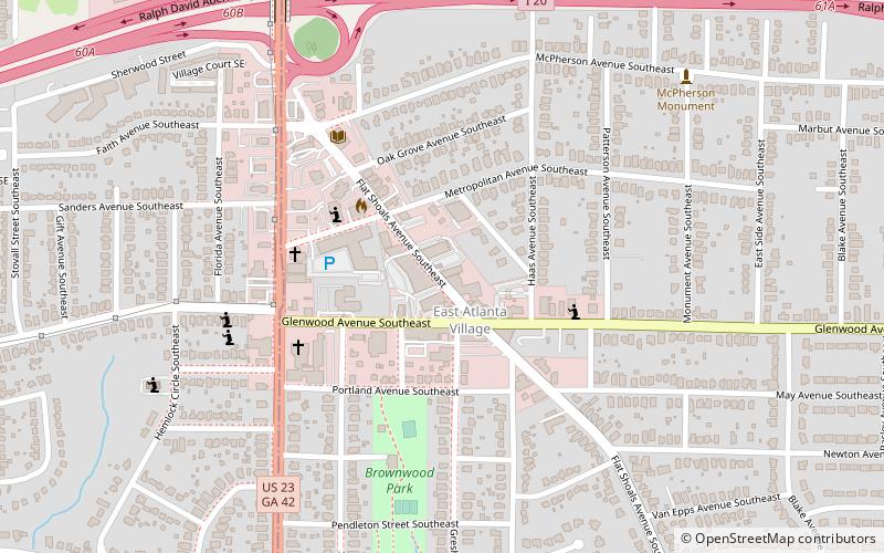
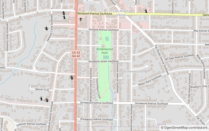
North Ormewood Park is a neighborhood on the east side of Atlanta, Georgia, United States, located in the northern part of Ormewood Park. It is located between Reynoldstown, East Atlanta and Grant Park and adjacent to the mixed-use development Glenwood Park. It is bordered by Moreland Avenue, Glenwood Avenue, I-20 and Stovall Avenue. It is a designated Drug Free Commercial Zone. ()
Coordinates: 33°44'31"N, 84°21'9"W
Address
Eastside (Ormewood Park)Atlanta
ContactAdd
Social media
Add
Day trips
North Ormewood Park – popular in the area (distance from the attraction)
Nearby attractions include: Zoo Atlanta, Oakland Cemetery, Martin Luther King Jr. National Historic Site, Erskine Memorial Fountain.
Frequently Asked Questions (FAQ)
Which popular attractions are close to North Ormewood Park?
Nearby attractions include The Earl, Atlanta (10 min walk), East Atlanta Village, Atlanta (11 min walk), Brownwood Park, Atlanta (13 min walk), Reynoldstown, Atlanta (14 min walk).
How to get to North Ormewood Park by public transport?
The nearest stations to North Ormewood Park:
Metro
Metro
- Inman Park/Reynoldstown • Lines: Blue, Green (28 min walk)


