Ellis Field, College Station
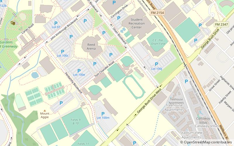
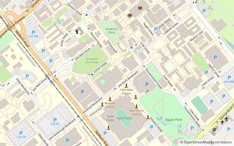
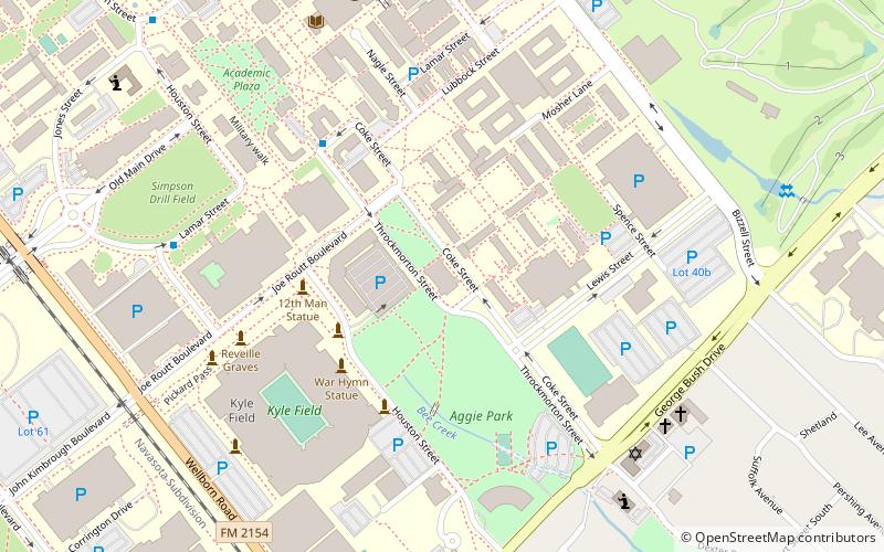
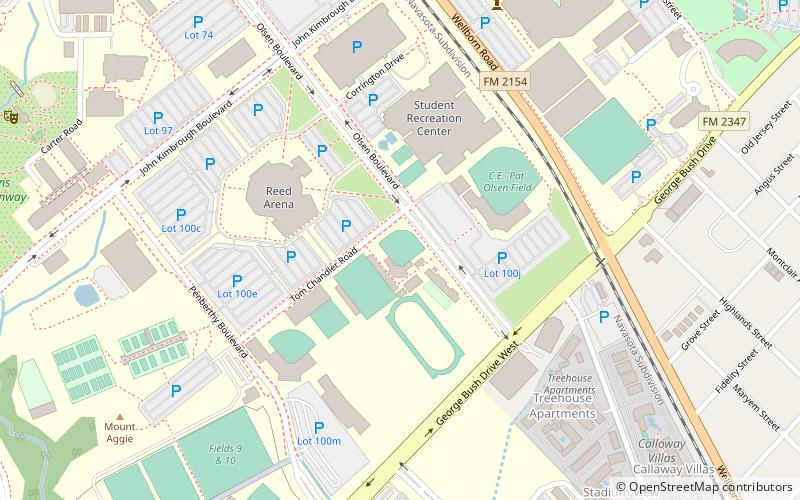
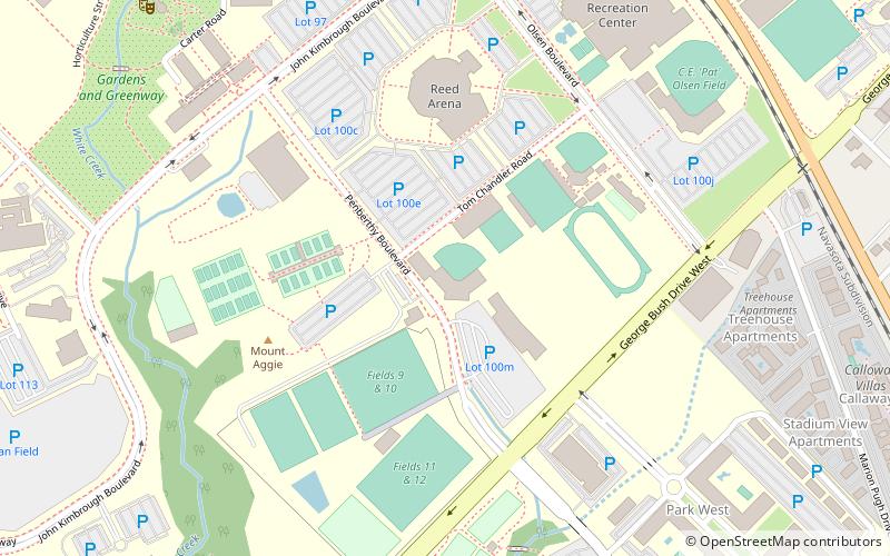
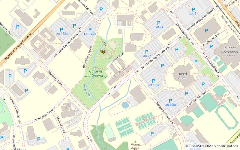
Map
Facts and practical information
Ellis Field, formerly known as Aggie Soccer Stadium is a soccer-specific stadium located in College Station, Texas, United States on the campus of Texas A&M University. It has been home to the Texas A&M soccer team since 1994. ()
Capacity: 3500Coordinates: 30°36'14"N, 96°20'39"W
Getting there by public transportation
Public transportation stops near this location
- Bus
 Bus
Bus
- Calculate routeMsc 16 min walk
- Calculate routeFish Pond 22 min walk
- Calculate routeTransit 29 min walk
- Calculate routeWisenbaker - East 32 min walk
Day trips


Frequently Asked Questions (FAQ)
Which popular attractions are close to Ellis Field?
Nearby attractions include Texas A&M College of Agriculture and Life Sciences, College Station (11 min walk), Kyle Field, College Station (16 min walk), J. Wayne Stark Galleries, College Station (17 min walk), Sanders Corps of Cadets Center, College Station (18 min walk).
How to get to Ellis Field by public transport?
The nearest stations to Ellis Field:
Bus
Bus
- Msc • Lines: 47 (16 min walk)
- Fish Pond • Lines: 47 (22 min walk)