Aggie Softball Complex, College Station
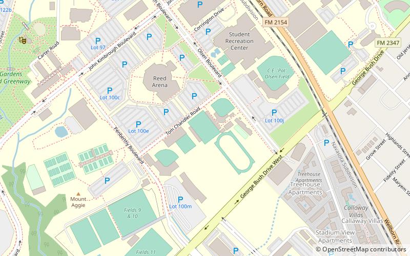
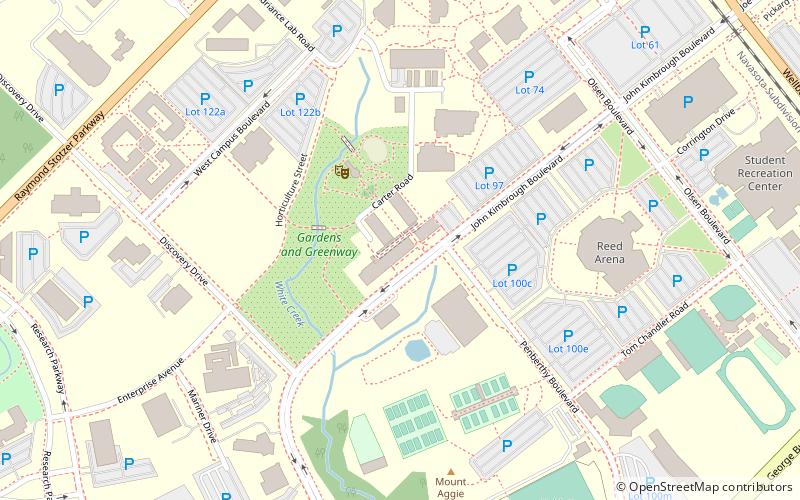
Map
Facts and practical information
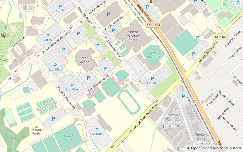
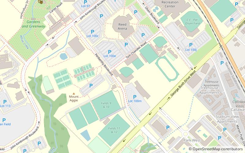
The Aggie Softball Complex was the home to the Texas A&M Aggies softball team from 1994 to 2018. The stadium was dedicated on March 30, 1994. The final game played in the Aggie Softball Complex was April 15, 2018, a military appreciation game, against the Kentucky Wildcats. The record attendance for the complex is 2,341, set on April 27, 2005, versus the Texas Longhorns. Nineteen of the 20 highest attendance numbers were set during the 2005, 2006, and 2007 seasons. The stadium has hosted NCAA Regionals in 2005, 2007, 2008, 2011, 2012, 2013 and 2017 and NCAA Super Regionals in 2007 and 2008. ()
Capacity: 1750Coordinates: 30°36'17"N, 96°20'37"W
Address
Texas AandM UniversityCollege Station
ContactAdd
Social media
Add
Getting there by public transportation
Public transportation stops near this location
- Bus
 Bus
Bus
- Calculate routeMsc 14 min walk
- Calculate routeFish Pond 21 min walk
- Calculate routeTransit 29 min walk
- Calculate routeWisenbaker - East 30 min walk
Day trips


Frequently Asked Questions (FAQ)
Which popular attractions are close to Aggie Softball Complex?
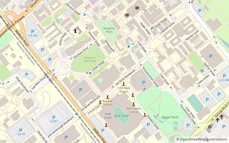
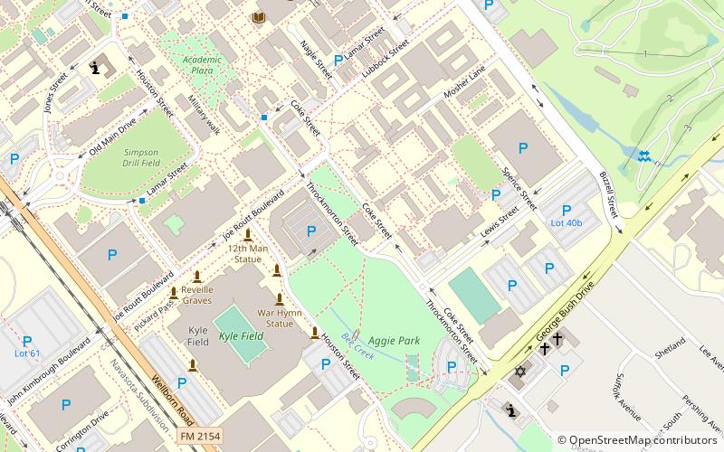
Nearby attractions include Texas A&M College of Agriculture and Life Sciences, College Station (11 min walk), Kyle Field, College Station (14 min walk), J. Wayne Stark Galleries, College Station (15 min walk), Sanders Corps of Cadets Center, College Station (16 min walk).
How to get to Aggie Softball Complex by public transport?
The nearest stations to Aggie Softball Complex:
Bus
Bus
- Msc • Lines: 47 (14 min walk)
- Fish Pond • Lines: 47 (21 min walk)