Trek Zone

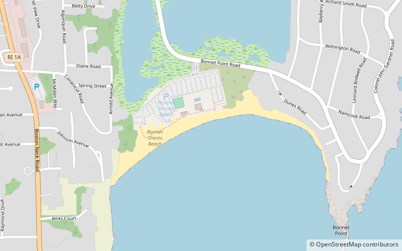
Bonnet Shores Beach Club, Narragansett

#4 among attractions in Narragansett

Beach
Bonnet Shores Beach Club

Facts and practical information

Bonnet Shores Beach Club (address: 175 Bonnet Point Road) is a place located in Narragansett (Rhode Island state) and belongs to the category of beach.

It is situated at an altitude of 0 feet, and its geographical coordinates are 41°28'22"N latitude and 71°25'37"W longitude.

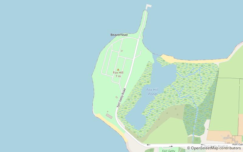
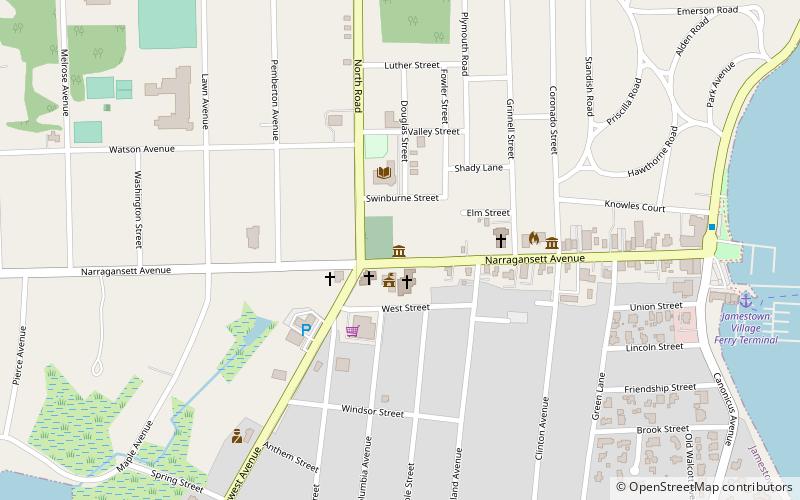
Among other places and attractions worth visiting in the area are: Narragansett Baptist Church (church, 36 min walk), Conanicut Battery, Jamestown (forts and castles, 47 min walk), Fort Getty, Jamestown (park, 50 min walk).

Coordinates: 41°28'22"N, 71°25'37"W
Address

175 Bonnet Point RoadNarragansett United States

Contact
Social media
Add

Narragansett plan & book

Unleash the traveler in you — discover the cheapest flight deals, find the perfect hotel or hostel nearby, and search for the best car rental prices. Travel at your own pace to discover new places and enjoy your journey.

Day trips

Bonnet Shores Beach Club – popular in the area (distance from the attraction)

Nearby attractions include: The Towers, Town Beach, Dutch Island Light, Arts Center.

  • the towers narragansett3.3 miSW
  • town beach narragansett2.9 miSW
  • dutch island light2 miNE
  • arts center jamestown3.3 miNE
  • beavertail lighthouse jamestown2.3 miSE
  • fort getty jamestown location map
    1.9 miNE
  • jamestown museum location map
    3.2 miNE
  • casey farm north kingstown2.8 miN
  • south county museum narragansett2.9 miSW
  • hannah robinson tower saunderstown2.2 miNW
  • artillery park jamestown3.1 miNE

Where to next? Visit rhode island Rhode Island region page or discover the top tourist attractions in United States.