Mount Hood, Mount Hood Wilderness
Map
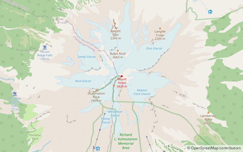
Map

Facts and practical information
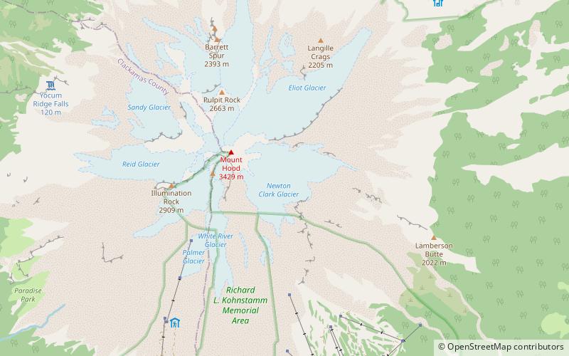
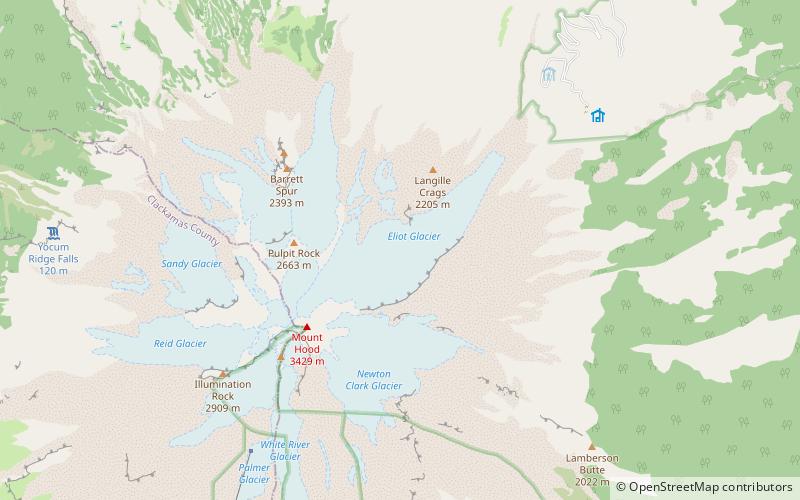
Mount Hood is a potentially active stratovolcano in the Cascade Volcanic Arc. It was formed by a subduction zone on the Pacific coast and rests in the Pacific Northwest region of the United States. It is located about 50 miles east-southeast of Portland, on the border between Clackamas and Hood River counties. In addition to being Oregon's highest mountain, it is one of the loftiest mountains in the nation based on its prominence, and it offers the only year-round lift-served skiing in North America. ()
Alternative names: First ascent: 1857Last eruption: 1866Elevation: 11249 ftProminence: 7706 ftCoordinates: 45°22'25"N, 121°41'46"W
Address
Mount Hood Wilderness
ContactAdd
Social media
Add
Day trips
Mount Hood – popular in the area (distance from the attraction)
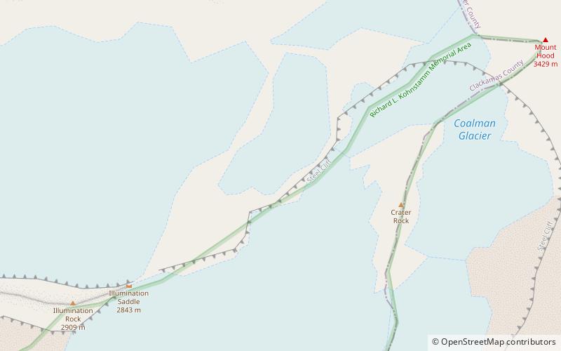
Nearby attractions include: Coalman Glacier, Palmer Glacier, White River Glacier, Sandy Glacier.
Frequently Asked Questions (FAQ)
Which popular attractions are close to Mount Hood?
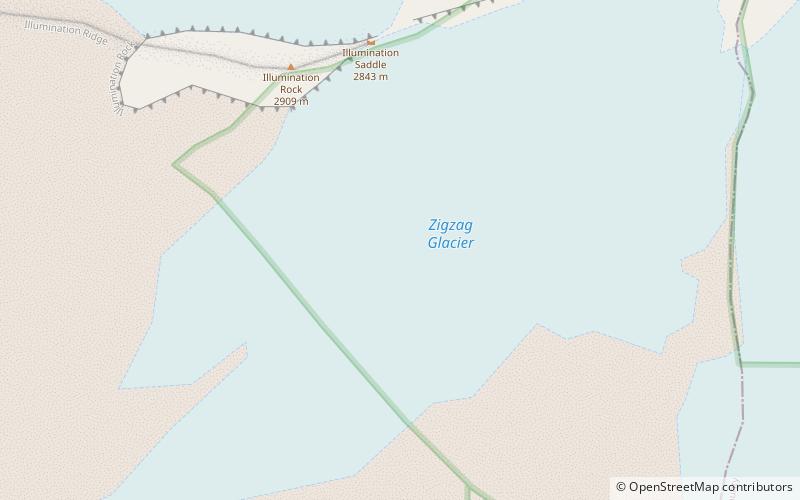
Nearby attractions include Coalman Glacier, Mount Hood Wilderness (6 min walk), Bull Run National Forest, Mount Hood Wilderness (12 min walk), Newton Clark Glacier, Mount Hood Wilderness (18 min walk), Zigzag Glacier, Mount Hood Wilderness (21 min walk).


