Winding Stair Mountain National Recreation Area, Ouachita National Forest

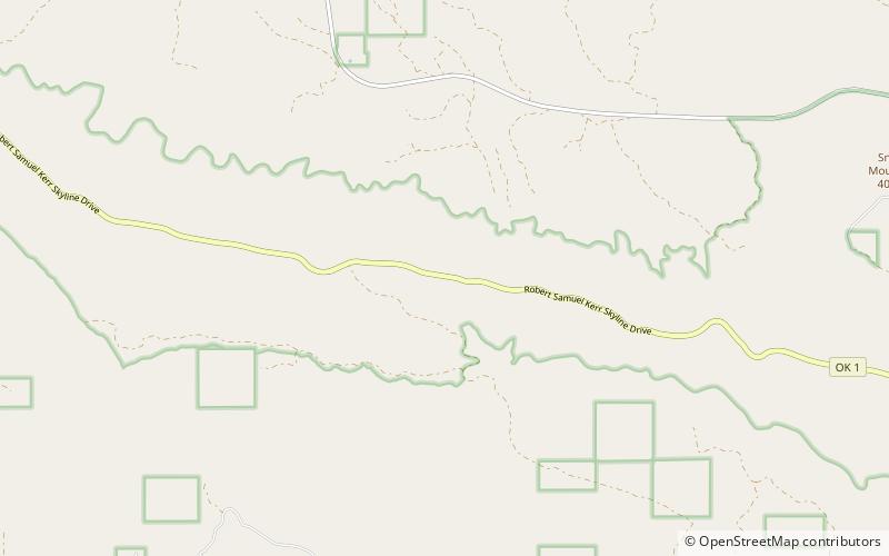
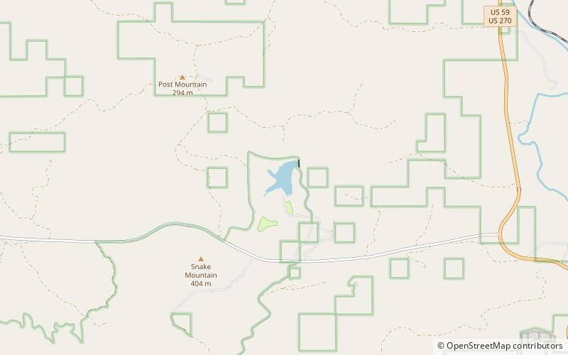
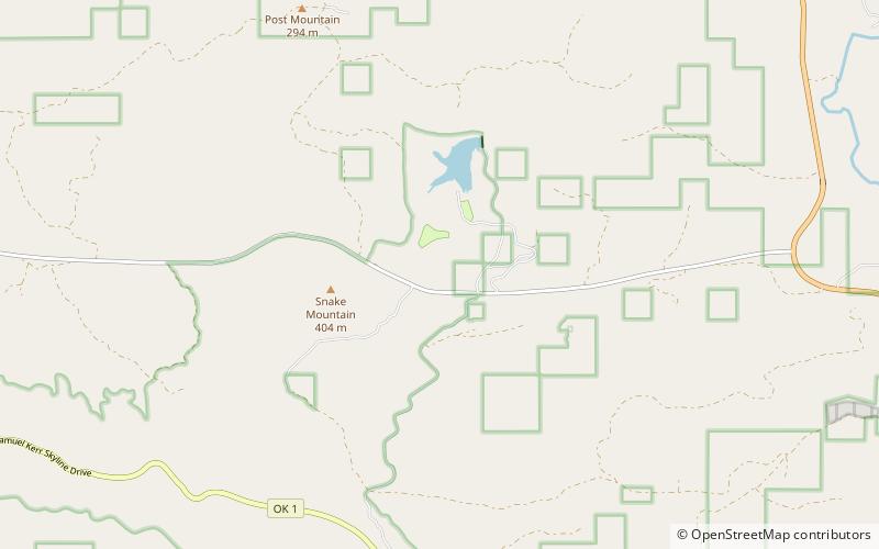
Map
Facts and practical information
Winding Stair Mountain National Recreation Area is a United States national recreation area in the Ouachita National Forest. State Highway 1, known as the Talimena Scenic Byway in this area, bisects the recreation area. U. S. Highway 271 loops up through the summit. Winding Stair Mountain National Recreation Area and the nearby Upper Kiamichi River and Black Fork Mountain Wilderness areas were created by an act of Congress on October 18, 1988. ()
Elevation: 2077 ft a.s.l.Coordinates: 34°44'52"N, 94°47'11"W
Day trips
Winding Stair Mountain National Recreation Area – popular in the area (distance from the attraction)
Nearby attractions include: Cedar Lake, Indian Nations National Wildlife and Scenic Area.

