Cedar Lake, Ouachita National Forest

Map
Facts and practical information
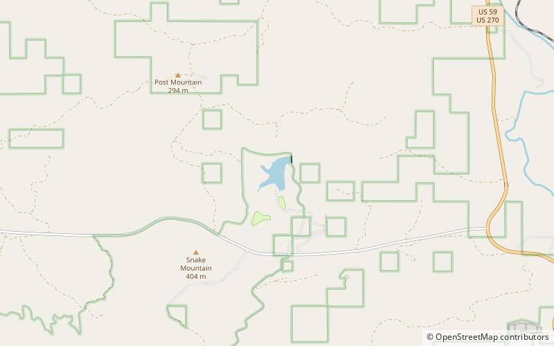
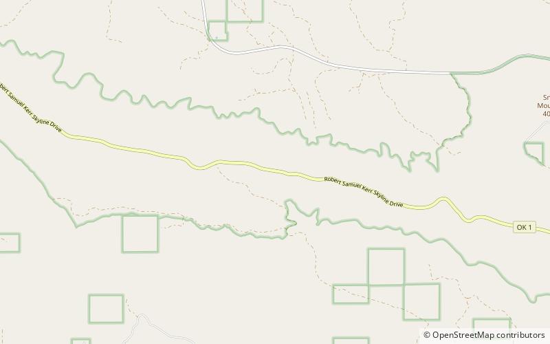
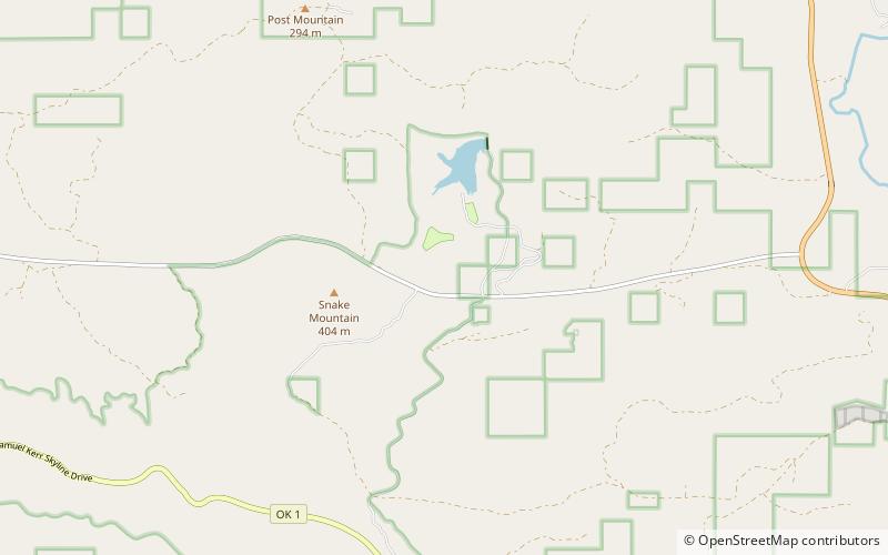
Cedar Lake is in Le Flore County, Oklahoma inside the Ouachita National Forest. Considered a part of Indian Nations National Scenic and Wildlife Area, it is about 12 miles south of Heavener, Oklahoma, and 40 miles west of Mena, Arkansas. ()
Built: 1937 (89 years ago)Elevation: 715 ft a.s.l.Coordinates: 34°46'51"N, 94°41'49"W
Address
Ouachita National Forest
ContactAdd
Social media
Add
Day trips
Cedar Lake – popular in the area (distance from the attraction)
Nearby attractions include: Winding Stair Mountain National Recreation Area, Indian Nations National Wildlife and Scenic Area.

