Indian Nations National Wildlife and Scenic Area, Ouachita National Forest
Map
Facts and practical information
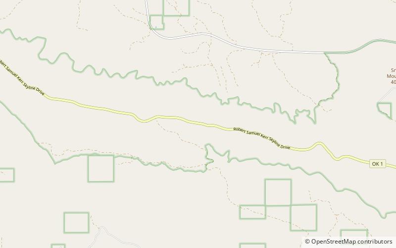
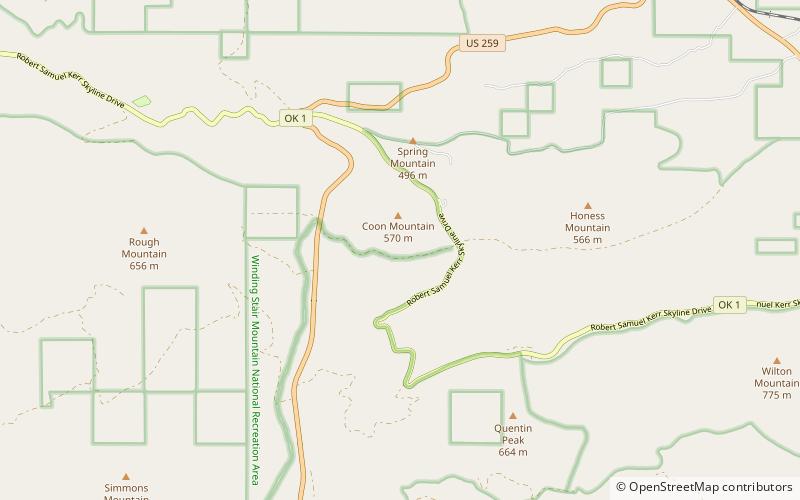
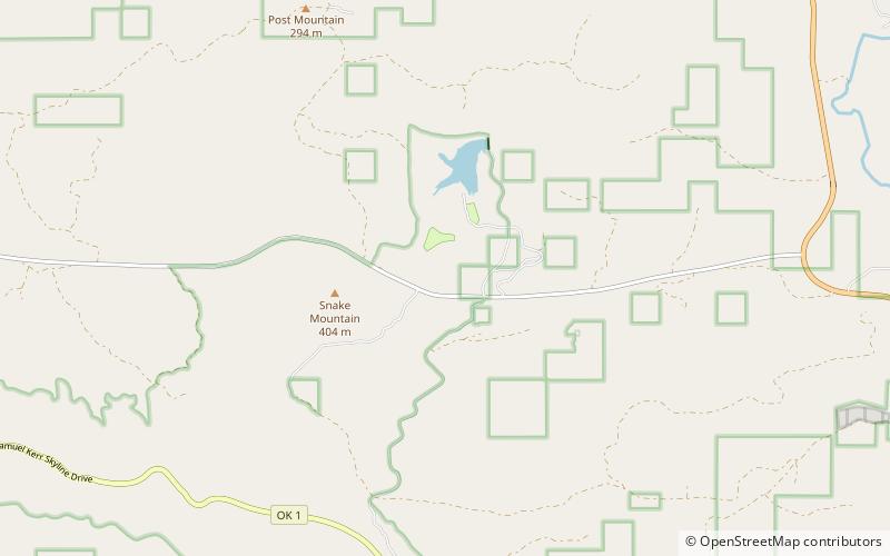
Indian Nations National Scenic and Wildlife Area is a federally designated National Scenic Area within Ouachita National Forest 11 miles south of Heavener, in Le Flore County, Oklahoma USA. The 41,051-acre scenic area is administered by the U.S. Forest Service. The scenic area includes the Homer L. Johnson Wildlife Management Area. There is also a 15-acre fishing lake atop Post Mountain, developed by the U. S. Forest Service during the 1930s, is included within the scenic area. ()
Established: 1988 (38 years ago)Coordinates: 34°46'0"N, 94°41'60"W
Address
Ouachita National Forest
ContactAdd
Social media
Add
Day trips