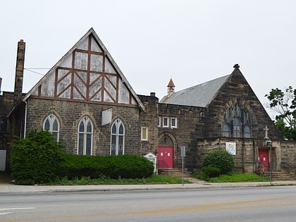
St. Paul's Episcopal Church of East Cleveland, Cleveland
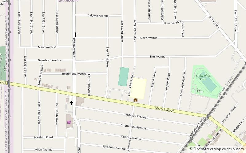
Map
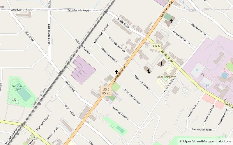
Map

Facts and practical information
St. Paul's Episcopal Church of East Cleveland is a current and historic church in East Cleveland, Ohio. It was built in 1846, and it was listed on the U.S. National Register of Historic Places in 1984 under the 'churches' category. It is credited to the firm of Coburn, Barnum, & Benes. The current occupants are a congregational church, the "Empowerment Church". ()
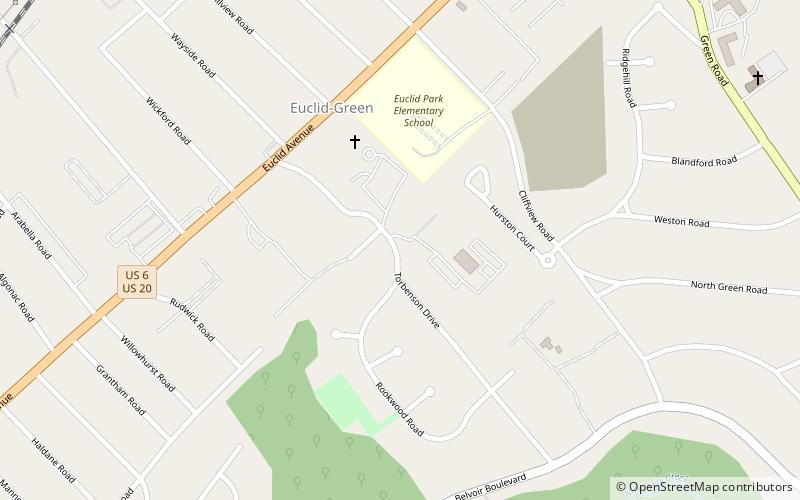
Built: 1846 (180 years ago)Coordinates: 41°32'30"N, 81°34'13"W
Address
East ClevelandCleveland
ContactAdd
Social media
Add
Day trips
St. Paul's Episcopal Church of East Cleveland – popular in the area (distance from the attraction)
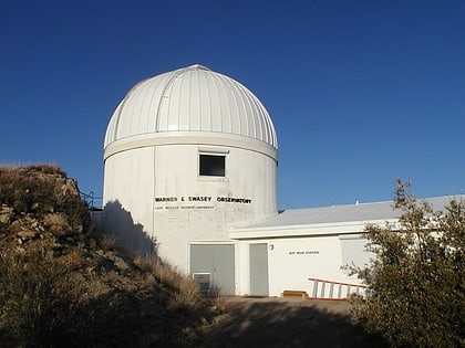
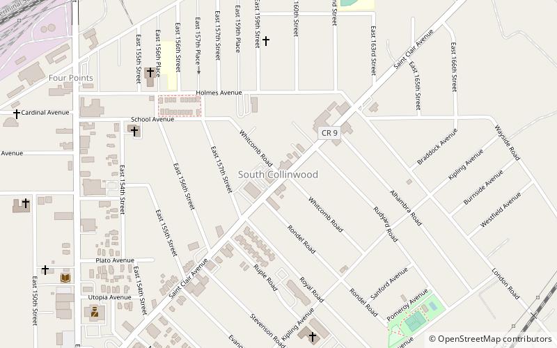
Nearby attractions include: Cleveland/East Side, Kinsman, Warner and Swasey Observatory, Collinwood.
Frequently Asked Questions (FAQ)
Which popular attractions are close to St. Paul's Episcopal Church of East Cleveland?
Nearby attractions include Warner and Swasey Observatory, Cleveland (11 min walk), Cleveland/East Side, Cleveland (21 min walk).
How to get to St. Paul's Episcopal Church of East Cleveland by public transport?
The nearest stations to St. Paul's Episcopal Church of East Cleveland:
Bus
Metro
Bus
- 37 • Lines: 37 (24 min walk)
- Louis Stokes - Windermere • Lines: 41, 41F (27 min walk)
Metro
- Louis Stokes Station at Windermere • Lines: Red (28 min walk)
