Shaw Stadium, Cleveland
Map
Facts and practical information
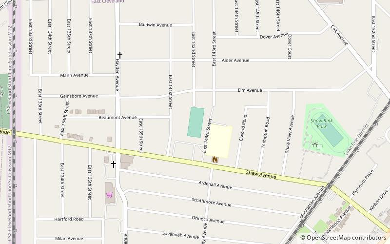
Shaw Stadium is a stadium in East Cleveland, Ohio, United States, mainly used for high school football. The stadium was built in 1923 and is home to the Shaw High School Cardinals football team and marching band. ()
Opened: 1923 (103 years ago)Coordinates: 41°32'27"N, 81°34'60"W
Address
East ClevelandCleveland
ContactAdd
Social media
Add
Getting there by public transportation
Public transportation stops near this location
- Metro
- Bus
 Metro
Metro
- Calculate routeLouis Stokes - Windermere 19 min walk
- Calculate route37 34 min walk
- Calculate routeLouis Stokes Station at Windermere 19 min walk
Day trips


Frequently Asked Questions (FAQ)
Which popular attractions are close to Shaw Stadium?
Nearby attractions include St. Paul's Episcopal Church of East Cleveland, Cleveland (17 min walk), Cleveland/East Side, Cleveland (17 min walk), Warner and Swasey Observatory, Cleveland (22 min walk).
How to get to Shaw Stadium by public transport?
The nearest stations to Shaw Stadium:
Bus
Metro
Bus
- Louis Stokes - Windermere • Lines: 41, 41F (19 min walk)
- 37 • Lines: 37 (34 min walk)
Metro
- Louis Stokes Station at Windermere • Lines: Red (19 min walk)