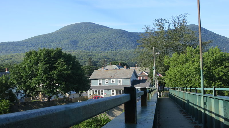
Mount Williams, Mount Greylock State Reservation
Map
Gallery
Facts and practical information
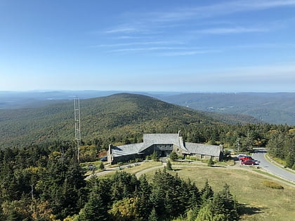
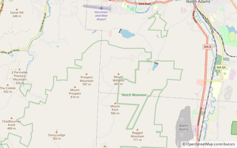
Mount Williams is the 4th highest peak in the Commonwealth of Massachusetts. It is located in the Greylock Range in Berkshire County. Its altitude is 2,951 feet. ()
Elevation: 2951 ftCoordinates: 42°40'5"N, 73°9'30"W
Address
Mount Greylock State Reservation
ContactAdd
Social media
Add
Day trips
Mount Williams – popular in the area (distance from the attraction)
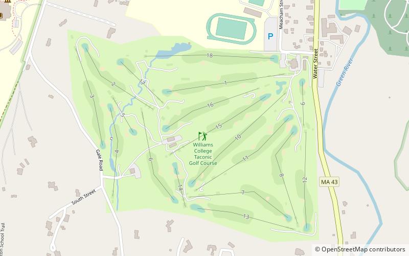
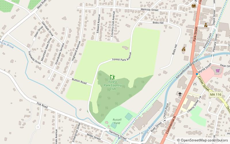
Nearby attractions include: Mount Greylock, MASS MoCA, Taconic Golf Club, Forest Park Country Club.

