Prospect Hill, Waltham
Map
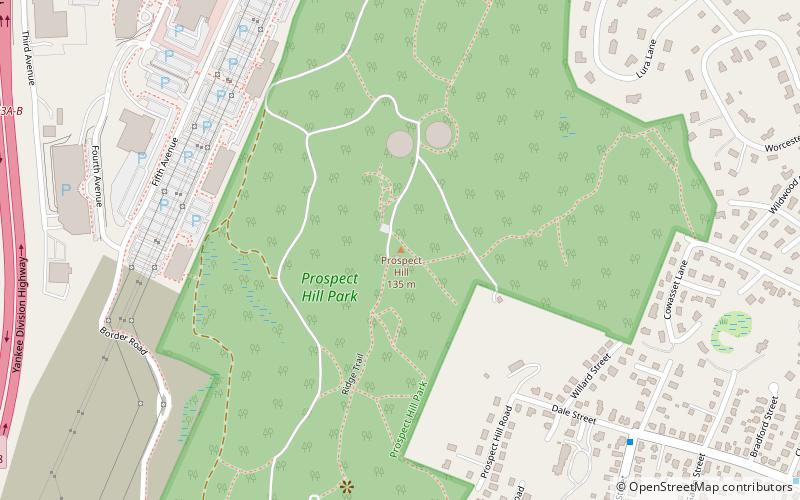
Map

Facts and practical information
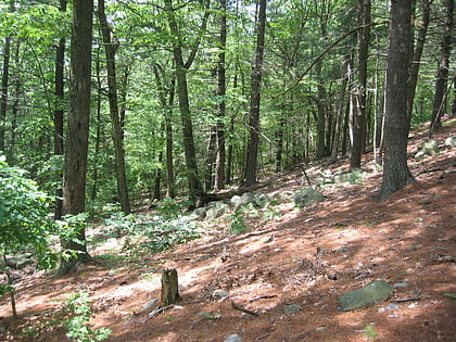
Prospect Hill is a hill in Waltham, Massachusetts, United States, and is the third-highest point within 12 miles of downtown Boston. The hill is in Prospect Hill Park on the west side of Waltham, near Route 128. It is exceeded in height by Great Blue Hill and Chickatawbut Hill, both in the Blue Hills Reservation. It is not to be confused with the much lower, historically significant Prospect Hill near Union Square in Somerville. ()
Elevation: 433 ft a.s.l.Coordinates: 42°23'19"N, 71°15'13"W
Address
Waltham (Highlands)Waltham
ContactAdd
Social media
Add
Day trips
Prospect Hill – popular in the area (distance from the attraction)
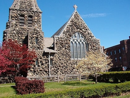
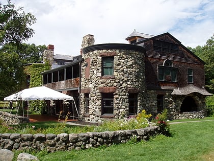
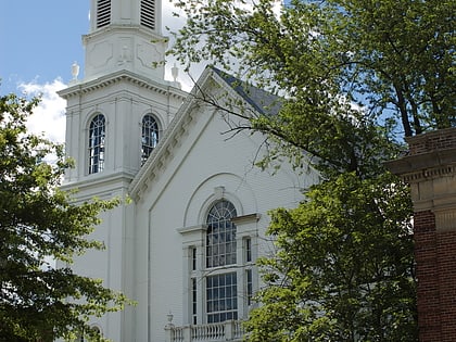
Nearby attractions include: Christ Episcopal Church, Stonehurst, Trinity Church, St. Mary's Roman Catholic Church Complex.
Frequently Asked Questions (FAQ)
Which popular attractions are close to Prospect Hill?
Nearby attractions include Lord's Castle, Waltham (13 min walk), Piety Corner Historic District, Waltham (20 min walk), North Lexington Street Historic District, Waltham (22 min walk).
How to get to Prospect Hill by public transport?
The nearest stations to Prospect Hill:
Train
Train
- Waltham (35 min walk)
