WHDH-TV tower, Newton
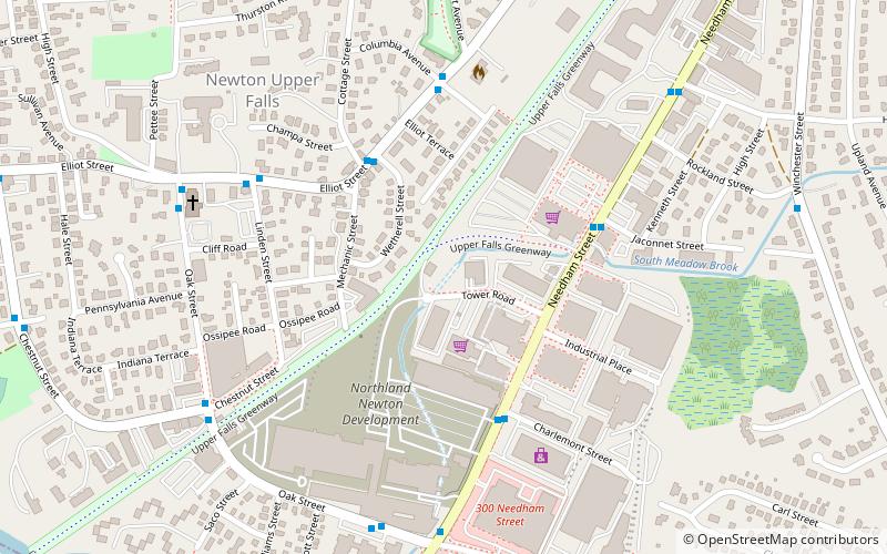
Map
Facts and practical information
The WHDH-TV tower is a free-standing lattice tower with triangular cross section used by WHDH in Newton, Massachusetts built in 1960. The tower stands 323.8 m tall and would have been the third tallest free-standing tower in the world at the time of its construction after Tokyo Tower and the Eiffel Tower. It is currently the second tallest free-standing lattice tower in the United States after the WITI TV Tower in Milwaukee and the 11th tallest in the world. ()
Completed: 1960 (66 years ago)Height: 1062 ftCoordinates: 42°18'41"N, 71°12'58"W
Address
Newton (Newton Upper Falls)Newton
ContactAdd
Social media
Add
Getting there by public transportation
Public transportation stops near this location
- Light rail
 Light rail
- Calculate routeEliot 14 min walk
- Calculate routeNewton Highlands 24 min walk
- Calculate routeWaban 32 min walk
Day trips


Frequently Asked Questions (FAQ)
Which popular attractions are close to WHDH-TV tower?
Nearby attractions include Mary Immaculate of Lourdes Church, Newton (7 min walk), Saco–Pettee Machine Shops, Newton (7 min walk), Newton Upper Falls, Newton (9 min walk), Needham Street Bridge, Newton (9 min walk).
How to get to WHDH-TV tower by public transport?
The nearest stations to WHDH-TV tower:
Light rail
Light rail
- Eliot • Lines: D (14 min walk)
- Newton Highlands • Lines: D (24 min walk)