Newton Highlands, Newton
Map

Map

Facts and practical information
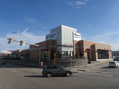
Newton Highlands is one of the thirteen villages within the city of Newton in Middlesex County, Massachusetts, United States. The Newton Highlands Historic District includes residential and commercial businesses back to the late 19th century. ()
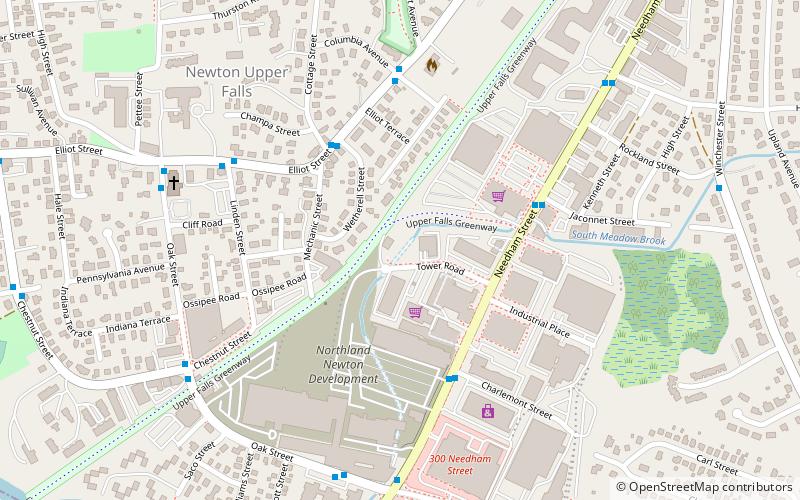
Coordinates: 42°19'15"N, 71°11'58"W
Address
Newton (Newton Highlands)Newton
ContactAdd
Social media
Add
Day trips
Newton Highlands – popular in the area (distance from the attraction)
Nearby attractions include: The Shops at Chestnut Hill, Piccadilly Square, Chestnut Hill Square, Newton Free Library.
Frequently Asked Questions (FAQ)
Which popular attractions are close to Newton Highlands?
Nearby attractions include Peabody-Williams House, Newton (12 min walk), Crystal Lake, Newton (12 min walk), South Burying Ground, Newton (15 min walk), Newton Theological Institution Historic District, Newton (15 min walk).
How to get to Newton Highlands by public transport?
The nearest stations to Newton Highlands:
Light rail
Bus
Light rail
- Newton Highlands • Lines: D (9 min walk)
- Newton Centre • Lines: D (18 min walk)
Bus
- 791 Walnut St • Lines: 59 (25 min walk)


