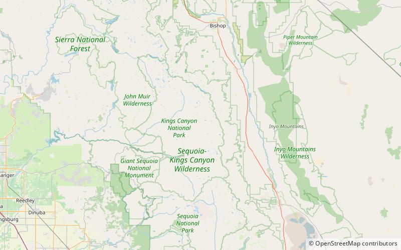
Arrow Peak, Kings Canyon National Park
Map

Map

Facts and practical information
Arrow Peak is a 12,962-foot summit of the Sierra Nevada in Fresno County, California, located within Kings Canyon National Park. Arrow Peak is situated at the north end of the Muro Blanco, a chain of high cliffs along the South Fork Kings River. ()
Elevation: 12962 ftProminence: 1313 ftCoordinates: 36°55'42"N, 118°29'28"W
Address
Kings Canyon National Park
ContactAdd
Social media
Add
Day trips
Arrow Peak – popular in the area (distance from the attraction)
Nearby attractions include: Crater Mountain, Mount Wynne, Marion Peak, Vennacher Needle.


