Mount Ruskin, Kings Canyon National Park
Map

Gallery

Facts and practical information
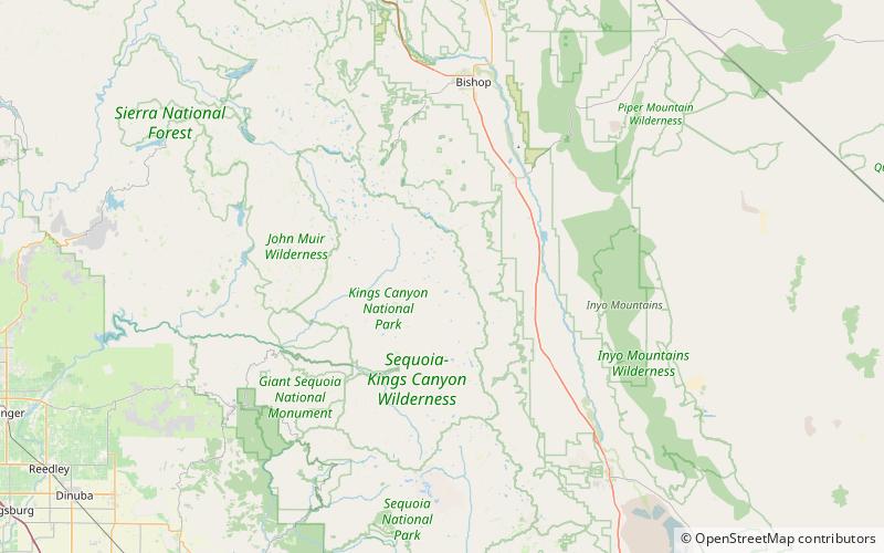
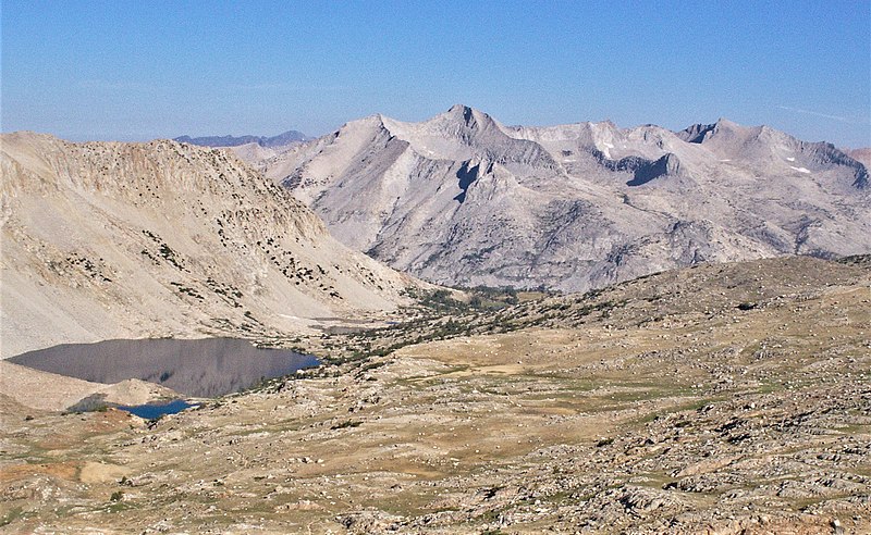
Mount Ruskin is a 12,920-foot-elevation mountain summit located in Kings Canyon National Park, in Fresno County of northern California, United States. It is situated west of the crest of the Sierra Nevada mountain range, immediately east of Cartridge Pass, and 1.4 miles south of Vennacher Needle, the nearest higher neighbor. Topographic relief is significant as the south aspect rises over 3,280 feet above South Fork Kings River in 1.5 mile. ()
Coordinates: 36°58'43"N, 118°28'24"W
Address
Kings Canyon National Park
ContactAdd
Social media
Add
Day trips
Mount Ruskin – popular in the area (distance from the attraction)
Nearby attractions include: Crater Mountain, Mount Wynne, Marion Peak, Vennacher Needle.


