Cucamonga Peak, Cucamonga Wilderness

Gallery (1)
Map
Map
Facts and practical information
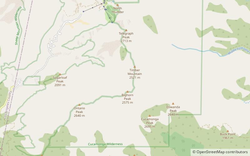
Cucamonga Peak is one of the highest peaks of the San Gabriel Mountains in San Bernardino County, California, with a summit elevation of 8,862 feet. It is within the Cucamonga Wilderness of the San Bernardino National Forest. ()
Elevation: 8862 ftProminence: 1299 ftCoordinates: 34°14'24"N, 117°35'56"W
Address
Cucamonga Wilderness
ContactAdd
Social media
Add
Day trips


