Ontario Peak, Cucamonga Wilderness
Map

Map

Facts and practical information
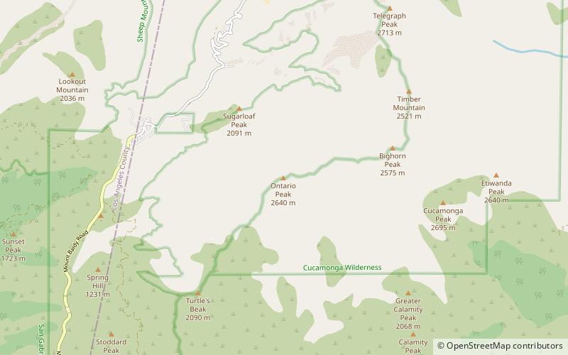
Ontario Peak, at 8,696 ft, is a high peak in the San Gabriel Mountains of California. Like its neighbor Cucamonga Peak, it is in the San Bernardino National Forest, and in the Cucamonga Wilderness. The peak is named for the nearby city of Ontario about 12 miles due south, and first appeared in the General Land Office Forest Atlas in 1908. ()
Elevation: 8696 ftProminence: 1039 ftCoordinates: 34°13'40"N, 117°37'26"W
Address
Cucamonga Wilderness
ContactAdd
Social media
Add
Day trips
Ontario Peak – popular in the area (distance from the attraction)
Nearby attractions include: Mount San Antonio, Mount Baldy Zen Center, Mount Harwood, Cucamonga Peak.


