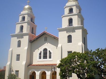
All Saints' Episcopal Church, Los Angeles
Map
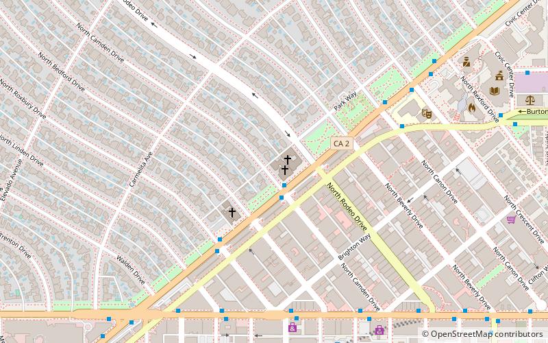
Map

Facts and practical information
All Saints' Episcopal Church is an Episcopal church in Beverly Hills, California. ()
Coordinates: 34°4'15"N, 118°24'22"W
Address
504 N Camden DrWest Los Angeles (Beverly Hills)Los Angeles 90210
Contact
+1 310-275-0123
Social media
Add
Day trips
All Saints' Episcopal Church – popular in the area (distance from the attraction)
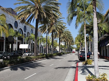
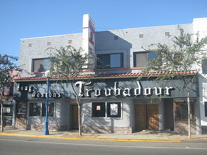
Nearby attractions include: Rodeo Drive, Troubadour, Two Rodeo, Saks Fifth Avenue.
Frequently Asked Questions (FAQ)
Which popular attractions are close to All Saints' Episcopal Church?
Nearby attractions include Church of the Good Shepherd, Los Angeles (3 min walk), Beverly Drive, Santa Monica (5 min walk), Beverly Gardens Park, Los Angeles (6 min walk), Rodeo Drive, Los Angeles (6 min walk).
How to get to All Saints' Episcopal Church by public transport?
The nearest stations to All Saints' Episcopal Church:
Bus
Bus
- Santa Monica & Camden • Lines: 4 (1 min walk)
 Metro & Regional Rail