Clark Street, Chicago
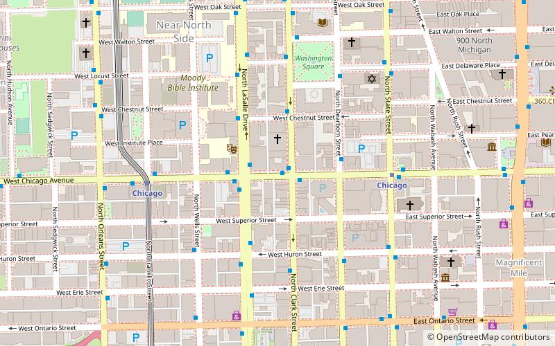
Map
Facts and practical information
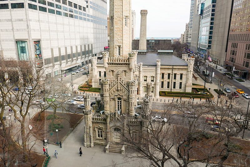
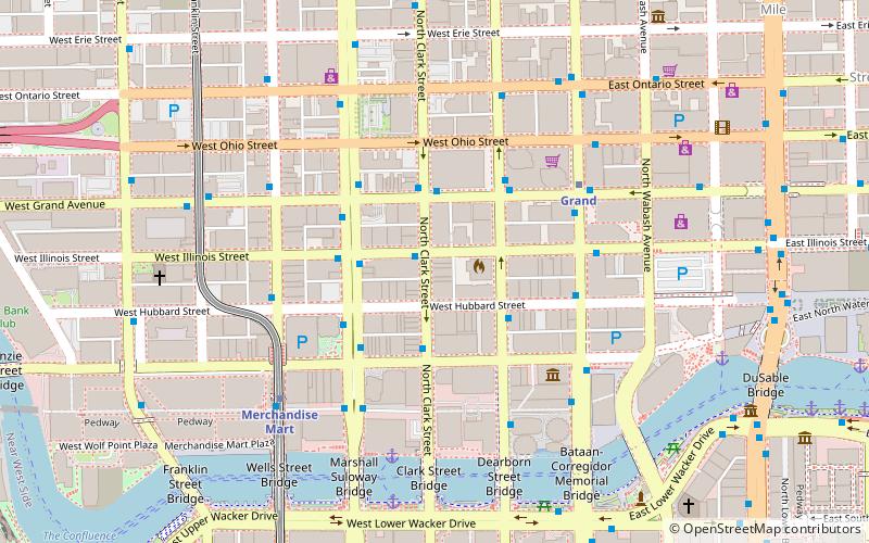
Clark Street is a north-south street in Chicago, Illinois that runs close to the shore of Lake Michigan from the northern city boundary with Evanston, to 2200 South in the city street numbering system. At its northern end, Clark Street is at 1800 West; however the street runs diagonally through the Chicago grid for about 8 miles to North Avenue and then runs at 100 West for the rest of its course south to Cermak Road. It is also seen in Riverdale beyond 127th street across the Calumet River, along with other nearby streets that ended just south of the Loop. The major length of Clark Street runs a total of 98 blocks. ()
Coordinates: 41°53'48"N, 87°37'54"W
Getting there by public transportation
Public transportation stops near this location
- Metro
- Bus
- Train
 Metro
Metro
- Calculate routeChicago & Clark WB 1 min walk
- Calculate routeClark & Chicago 1 min walk
- Calculate routeLaSalle & Chicago NB 2 min walk
- Calculate routeChicago 6 min walk
- Calculate routeMillennium Station 25 min walk
- Calculate routeOgilvie Transportation Center 26 min walk
Maps Rail "L"
Rail "L"Day trips
Frequently Asked Questions (FAQ)
When is Clark Street open?
Clark Street is open:
- Monday 4 pm - 4 am
- Tuesday 4 pm - 4 am
- Wednesday 4 pm - 4 am
- Thursday 4 pm - 4 am
- Friday 4 pm - 4 am
- Saturday 11 am - 4 am
- Sunday 11 am - 4 am
Which popular attractions are close to Clark Street?
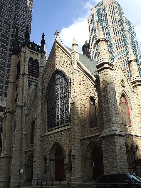
Nearby attractions include Newberry Library, Chicago (4 min walk), Washington Square Park, Chicago (5 min walk), Holy Name Cathedral, Chicago (6 min walk), Excalibur, Chicago (7 min walk).
How to get to Clark Street by public transport?
The nearest stations to Clark Street:
Bus
Metro
Train
Bus
- Chicago & Clark WB • Lines: 66, (N) N66 (1 min walk)
- Clark & Chicago • Lines: 22, (N) N22 (1 min walk)
Metro
- Chicago • Lines: Brown, Purple, Red (6 min walk)
Train
- Millennium Station (25 min walk)
- Ogilvie Transportation Center (26 min walk)