Pawtuxet Village, Warwick
Map
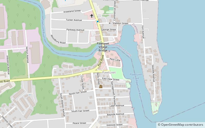
Map

Facts and practical information
Pawtuxet Village is a section of the New England cities of Warwick and Cranston, Rhode Island. It is located at the point where the Pawtuxet River flows into the Providence River and Narragansett Bay. ()
Built: 1638 (388 years ago)Elevation: 23 ft a.s.l.Coordinates: 41°45'48"N, 71°23'26"W
Day trips
Pawtuxet Village – popular in the area (distance from the attraction)
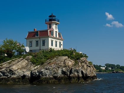
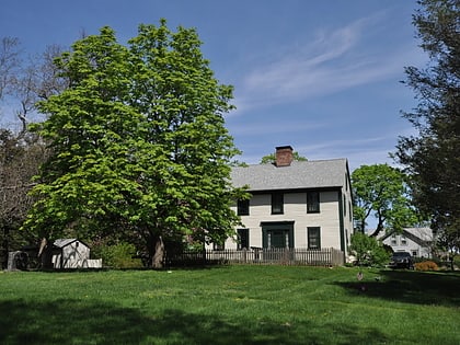
Nearby attractions include: Edgewood Yacht Club, Rhode Island Yacht Club, Pomham Rocks Light, John Waterman Arnold House.
Frequently Asked Questions (FAQ)
When is Pawtuxet Village open?
Pawtuxet Village is open:
- Monday 10 am - 4:30 pm
- Tuesday 10 am - 4:30 pm
- Wednesday 10 am - 4:30 pm
- Thursday 10 am - 4:30 pm
- Friday 10 am - 4:30 pm
- Saturday closed
- Sunday closed
Which popular attractions are close to Pawtuxet Village?
Nearby attractions include Rhode Island Yacht Club, Cranston (10 min walk), John Waterman Arnold House, Warwick (19 min walk), Edgewood Historic District–Anstis Greene Estate Plats, Cranston (19 min walk), Edgewood Historic District–Shaw Plat, Cranston (22 min walk).
How to get to Pawtuxet Village by public transport?
The nearest stations to Pawtuxet Village:
Bus
Bus
- Narragansett Parkway and Post • Lines: 3, 3A (5 min walk)
- Warwick and Post • Lines: 3B (20 min walk)
