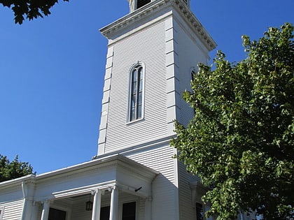
Edgewood Historic District–Anstis Greene Estate Plats, Cranston

Facts and practical information
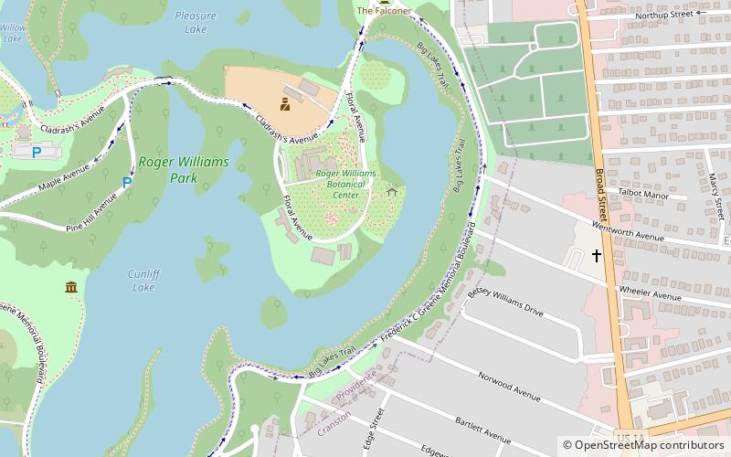
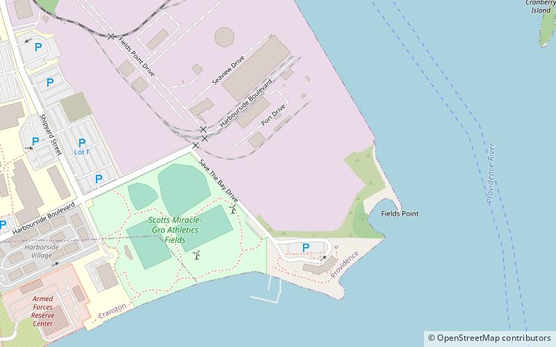
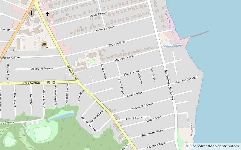
The Edgewood Historic District–Anstis Greene Estate Plat is a residential historic district in the Edgewood neighborhood of eastern Cranston, Rhode Island. The 34-acre area is bounded on the west by Broad Street, the east by Narragansett Bay, the south by Rosewood Avenue, and on the north by Marion Avenue, where it abuts the Edgewood Historic District-Shaw Plat. The area, originally part of a much larger property belonging to Zachariah Rhodes in the 17th century, was platted for residential development in the decades following the arrival of the streetcar on Broad Street, providing commuter service to Providence. The land was willed by Anstis Rhodes Greene to a group of heirs, who progressively developed their individual portions. The only significant surviving elements that predate this development are two small family cemeteries. ()
EdgewoodCranston
Edgewood Historic District–Anstis Greene Estate Plats – popular in the area (distance from the attraction)
Nearby attractions include: Roger Williams Park, Roger Williams Park Zoo, Edgewood Yacht Club, Roosevelt Lake.
Frequently Asked Questions (FAQ)
Which popular attractions are close to Edgewood Historic District–Anstis Greene Estate Plats?
How to get to Edgewood Historic District–Anstis Greene Estate Plats by public transport?
Bus
- Narragansett Parkway and Post • Lines: 3, 3A (15 min walk)
- Warwick and Post • Lines: 3B (27 min walk)


