Washington State University Spokane, Spokane
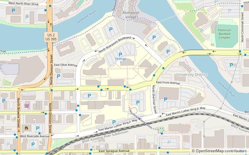
Map
Facts and practical information
Washington State University Spokane, branded as WSU Health Sciences Spokane, is a campus of Washington State University located in Spokane, Washington. It was established in 1989 and, as of 2010, is designated as the university's health science campus. The urban campus is housed on the 48-acre multi-institutional WSU Health Sciences Spokane campus, formerly known as the Riverpoint Campus, in Spokane's University District just east of Downtown Spokane. ()
Established: 1989 (37 years ago)Coordinates: 47°39'39"N, 117°24'22"W
Getting there by public transportation
Public transportation stops near this location
- Bus
- Train
 Bus
Bus
- Calculate routeSpokane Falls Blvd @ WSU 1 min walk
- Calculate routeSpokane Falls Blvd @ WSU/EWU Spokane 3 min walk
- Calculate routePine @ Main 5 min walk
- Calculate routeUD Ped Bridge 6 min walk
- Calculate routeSpokane 14 min walk
Day trips


Frequently Asked Questions (FAQ)
Which popular attractions are close to Washington State University Spokane?
Nearby attractions include WSU Health Sciences Spokane campus, Spokane (1 min walk), Division Street Bridge, Spokane (7 min walk), Law School, Spokane (8 min walk), Spokane Convention Center, Spokane (9 min walk).
How to get to Washington State University Spokane by public transport?
The nearest stations to Washington State University Spokane:
Bus
Train
Bus
- Spokane Falls Blvd @ WSU • Lines: Cl (1 min walk)
- Spokane Falls Blvd @ WSU/EWU Spokane • Lines: 29 (3 min walk)
Train
- Spokane (14 min walk)