Division Street Bridge, Spokane
Map
Map

Facts and practical information
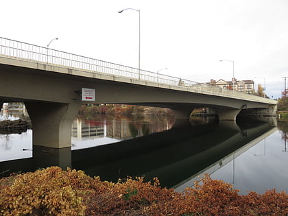
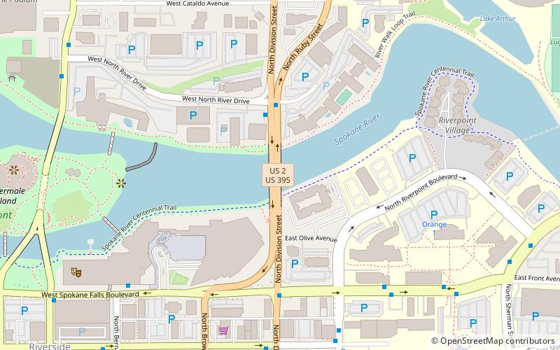
The Division Street Bridge is a road bridge located in Spokane, Washington that carries Division Street across the Spokane River just north of Downtown Spokane, roughly a half-mile east of Spokane Falls. There have been multiple iterations of the bridge throughout its history. The current bridge is a concrete span and was built in 1992 and is officially known as the Senator Sam C. Guess Memorial Bridge. ()
Opened: 1888 (138 years ago)Coordinates: 47°39'45"N, 117°24'40"W
Address
South Side (East Central)Spokane
ContactAdd
Social media
Add
Day trips
Division Street Bridge – popular in the area (distance from the attraction)
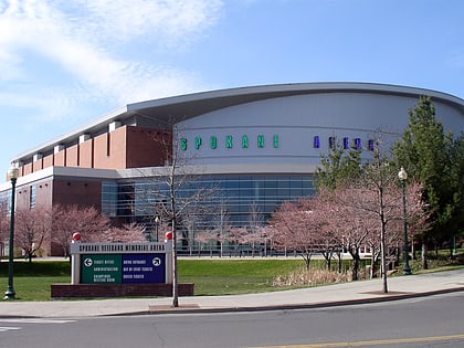
Nearby attractions include: Riverfront Park Carousel, River Park Square, St. Aloysius Church, Spokane Arena.
Frequently Asked Questions (FAQ)
Which popular attractions are close to Division Street Bridge?
Nearby attractions include Spokane Convention Center, Spokane (4 min walk), WSU Health Sciences Spokane campus, Spokane (7 min walk), Washington State University Spokane, Spokane (7 min walk), INB Performing Arts Center, Spokane (8 min walk).
How to get to Division Street Bridge by public transport?
The nearest stations to Division Street Bridge:
Bus
Train
Bus
- Spokane Falls Blvd @ WSU/EWU Spokane • Lines: 29 (6 min walk)
- Main @ Division • Lines: Cl (7 min walk)
Train
- Spokane (13 min walk)
