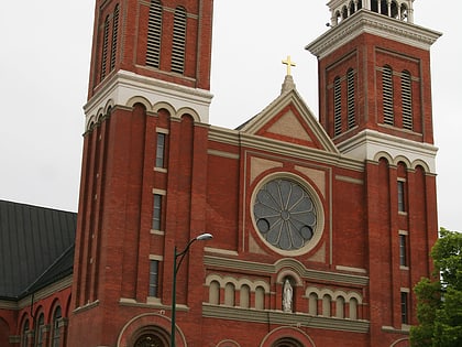
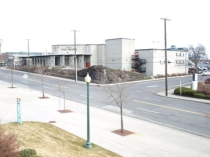
Spokane City Hall Building, Spokane
Map
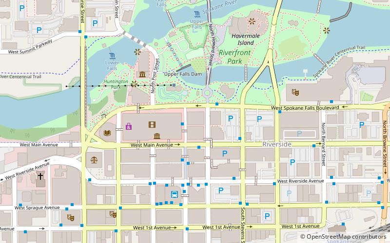
Map

Facts and practical information
The Spokane City Hall Building is a historic building in Spokane, Washington. It was designed by German-born architect Julius Zittel, and built in 1912. It was used as Spokane's city hall until 1982, when it was replaced with new offices in a former Montgomery Ward department store. The old city hall was listed on the National Register of Historic Places on February 21, 1985. ()
Coordinates: 47°39'35"N, 117°25'18"W
Address
South Side (Riverside)Spokane
ContactAdd
Social media
Add
Day trips
Spokane City Hall Building – popular in the area (distance from the attraction)
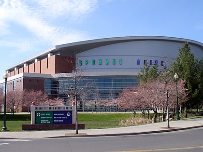
Nearby attractions include: Riverfront Park Carousel, River Park Square, Spokane Arena, Riverfront Park.
Frequently Asked Questions (FAQ)
Which popular attractions are close to Spokane City Hall Building?
Nearby attractions include Athleta at Riverpark Square, Spokane (2 min walk), Peyton Building and Peyton Annex, Spokane (3 min walk), Whitten Block, Spokane (4 min walk), Miller Block, Spokane (4 min walk).
How to get to Spokane City Hall Building by public transport?
The nearest stations to Spokane City Hall Building:
Bus
Train
Bus
- Wall @ Spokane Falls Blvd • Lines: 11 (1 min walk)
- Main @ Howard • Lines: Cl (2 min walk)
Train
- Spokane (10 min walk)


