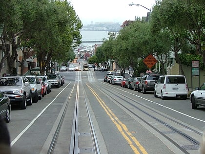
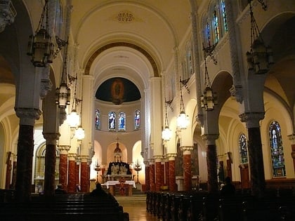
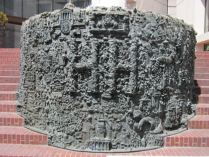
Marines' Memorial Club, San Francisco
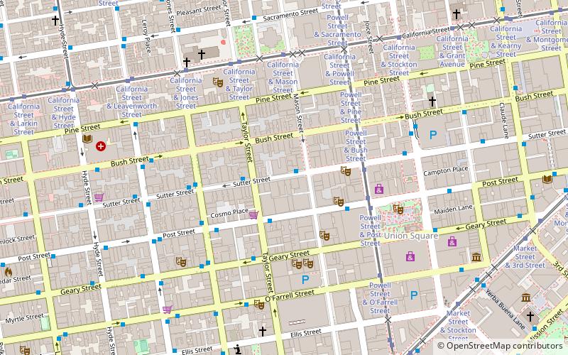
Facts and practical information
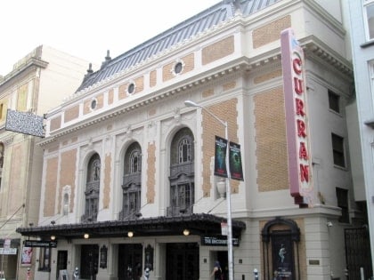
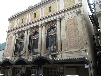
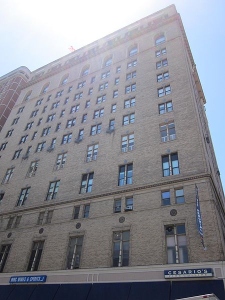
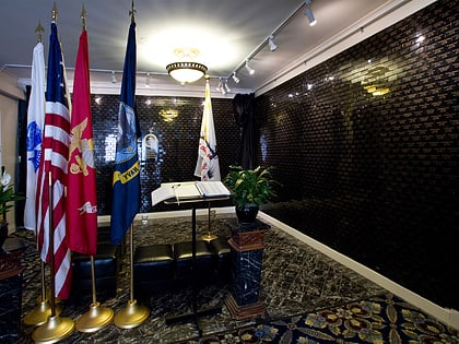
The Marines' Memorial Club in San Francisco, California at 609 Sutter Street, is a private social club for United States Marines and other veterans of the United States Armed Forces. The nonprofit Marines' Memorial Association owns the large building in the Union Square neighborhood of San Francisco that houses a hotel, theater, restaurant/bar, sports club, special event facilities, library, museum, memorial, and a military history bookstore. The facility was built as the Western Women's Club in 1926. ()
Northeast San Francisco (Lower Nob Hill)San Francisco
Marines' Memorial Club – popular in the area (distance from the attraction)
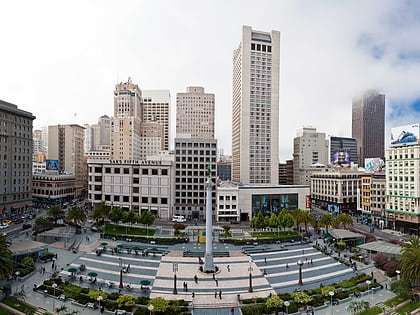
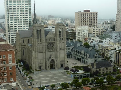
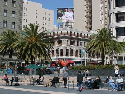
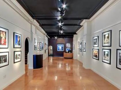
Nearby attractions include: Dewey Monument, Grace Cathedral, Union Square, Art Exchange.
Frequently Asked Questions (FAQ)
When is Marines' Memorial Club open?
- Monday 12 pm - 6 pm
- Tuesday 12 pm - 6 pm
- Wednesday 12 pm - 6 pm
- Thursday 12 pm - 6 pm
- Friday 12 pm - 6 pm
- Saturday 12 pm - 6 pm
- Sunday closed
Which popular attractions are close to Marines' Memorial Club?
How to get to Marines' Memorial Club by public transport?
Tram
- Powell Street & Sutter Street (4 min walk)
- Powell Street & Post Street (4 min walk)
Bus
- Geary Street & Taylor Street • Lines: 38 (4 min walk)
- Jones Street & Sutter Street • Lines: 27 (4 min walk)
Trolleybus
- Stockton Street & Sutter Street • Lines: 30, 45 (6 min walk)
- Sacramento Street & Sproule Lane • Lines: 1 (7 min walk)
Metro
- Powell Street • Lines: Blue, Green, Red, Yellow (10 min walk)
- Montgomery Street • Lines: Blue, Green, Red, Yellow (14 min walk)
Light rail
- Powell Street • Lines: K, N, S, T (10 min walk)
- Montgomery Street • Lines: K, N, S, T (13 min walk)
Ferry
- Ferry Building Gate B • Lines: San Francisco Bay Ferry (29 min walk)
Train
- San Francisco 4th & King Street (32 min walk)
 Muni Metro