Ruth Asawa's San Francisco Fountain, San Francisco

Gallery (4)
Map

Map
Gallery
Facts and practical information
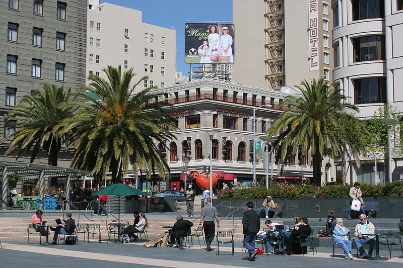
San Francisco Fountain, is a 1970 bronze sculpture and fountain by Ruth Asawa, located outside the Grand Hyatt San Francisco in downtown San Francisco, California, in the United States. ()
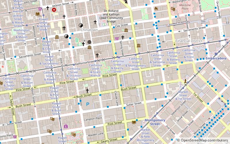
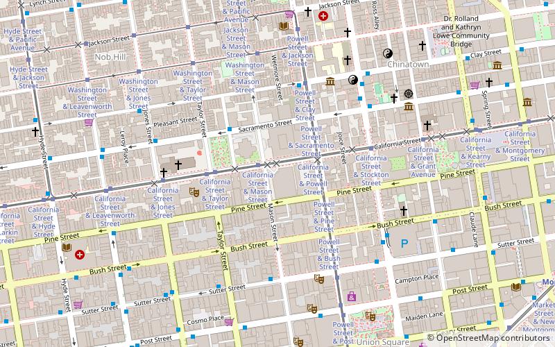
Coordinates: 37°47'20"N, 122°24'25"W
Address
Northeast San Francisco (Downtown San Francisco-Union Square)San Francisco
ContactAdd
Social media
Add
Getting there by public transportation
Public transportation stops near this location
- Metro
- Bus
- Trolleybus
- Tram
- Light rail
- Train
- Ferry
 Metro
Metro
- Calculate routeStockton Street & Sutter Street 2 min walk
- Calculate routeGeary Street & Stockton Street 3 min walk
- Calculate routeSutter Street & Kearny Street 4 min walk
- Calculate routeStockton Street & Sutter Street 2 min walk
- Calculate routeSutter Street & Kearny Street 4 min walk
- Calculate routeKearny Street & Geary Street 5 min walk
- Calculate routePowell Street & Sutter Street 3 min walk
- Calculate routePowell Street & Post Street 3 min walk
- Calculate routePowell Street & Bush Street 4 min walk
- Calculate routePowell Street & Geary Street 4 min walk
- Calculate routeMontgomery Street 8 min walk
- Calculate routePowell Street 9 min walk
- Calculate routeEmbarcadero 16 min walk
- Calculate routeCivic Center 20 min walk
- Calculate routePowell Street 8 min walk
- Calculate routeMontgomery Street 8 min walk
- Calculate routeEmbarcadero 16 min walk
- Calculate routeFerry Building Gate B 24 min walk
- Calculate routeSan Francisco 4th & King Street 28 min walk
Maps Muni Metro
Muni MetroDay trips
Ruth Asawa's San Francisco Fountain – popular in the area (distance from the attraction)
Nearby attractions include: Dewey Monument, Union Square, San Francisco Comfort Women Memorial, Art Exchange.


Frequently Asked Questions (FAQ)
Which popular attractions are close to Ruth Asawa's San Francisco Fountain?
Nearby attractions include Tiffany & Co., San Francisco (2 min walk), Xanadu Gallery, San Francisco (2 min walk), Xanadu Gallery, San Francisco (2 min walk), Maiden Lane, San Francisco (3 min walk).
How to get to Ruth Asawa's San Francisco Fountain by public transport?
The nearest stations to Ruth Asawa's San Francisco Fountain:
Bus
Trolleybus
Tram
Light rail
Metro
Ferry
Train
Bus
- Stockton Street & Sutter Street • Lines: 30, 8, 91 (2 min walk)
- Geary Street & Stockton Street • Lines: 38, 38R (3 min walk)
Trolleybus
- Stockton Street & Sutter Street • Lines: 30, 45 (2 min walk)
- Sutter Street & Kearny Street • Lines: 30, 45 (4 min walk)
Tram
- Powell Street & Sutter Street (3 min walk)
- Powell Street & Post Street (3 min walk)
Light rail
- Montgomery Street • Lines: K, N, S, T (8 min walk)
- Powell Street • Lines: K, N, S, T (9 min walk)
Metro
- Powell Street • Lines: Blue, Green, Red, Yellow (8 min walk)
- Montgomery Street • Lines: Blue, Green, Red, Yellow (8 min walk)
Ferry
- Ferry Building Gate B • Lines: San Francisco Bay Ferry (24 min walk)
Train
- San Francisco 4th & King Street (28 min walk)