Southeast Christian Church, Louisville
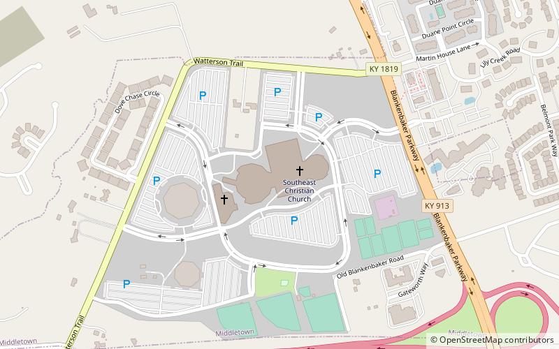
Map

Map

Facts and practical information
Southeast Christian Church is an evangelical megachurch of the Christian churches denomination based in Louisville, Kentucky. As of 2019, it is the fourth-largest church in the United States. ()
Coordinates: 38°13'42"N, 85°32'45"W
Day trips
Southeast Christian Church – popular in the area (distance from the attraction)
Nearby attractions include: Mall St. Matthews, Paddock Shops, Oxmoor Center, E. P. "Tom" Sawyer State Park.
Frequently Asked Questions (FAQ)
How to get to Southeast Christian Church by public transport?
The nearest stations to Southeast Christian Church:
Bus
Bus
- Lakefront Pl / Alliant • Lines: 75East, 75East Rev-a-Shelf (19 min walk)
- Lakeside Pl / 12501 • Lines: 75East, 75East Rev-a-Shelf (28 min walk)


