E. P. "Tom" Sawyer State Park, Louisville
Map
Gallery
Facts and practical information
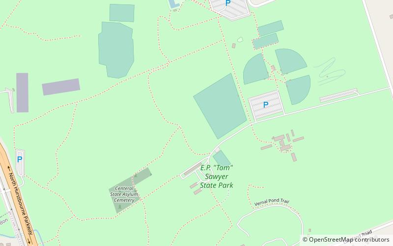
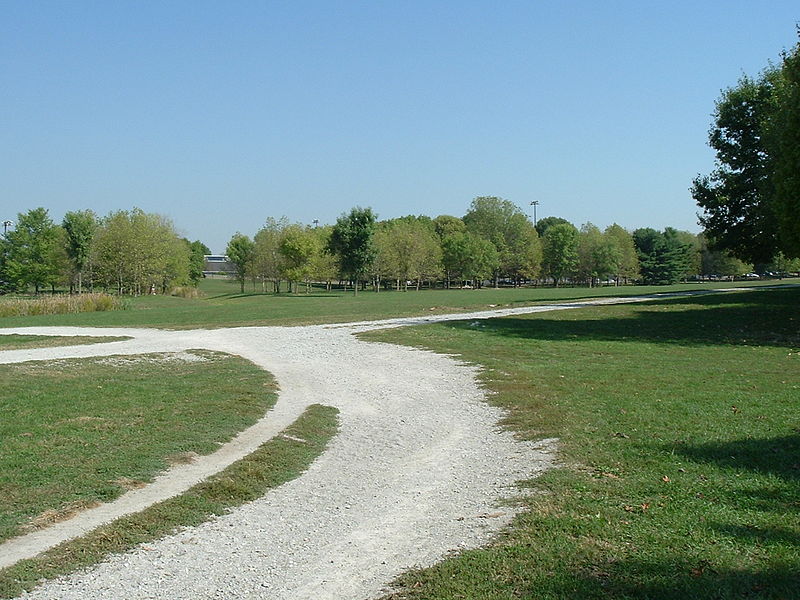
E. P. "Tom" Sawyer State Park is a 550-acre Kentucky state park located in the Freys Hill area of Louisville, Kentucky, on former land of Kentucky's Central State Hospital. When opened in 1974, it was named in honor of Republican Jefferson County Judge/Executive Erbon Powers "Tom" Sawyer who was killed in a car accident on Louisville's Interstate 64 in 1969 while still in office. Sawyer was the father of journalist Diane Sawyer. ()
Opened: 1974 (52 years ago)Elevation: 682 ft a.s.l.Coordinates: 38°16'55"N, 85°33'29"W
Day trips
E. P. "Tom" Sawyer State Park – popular in the area (distance from the attraction)
Nearby attractions include: Mall St. Matthews, Paddock Shops, Oxmoor Center, Walden School.
Frequently Asked Questions (FAQ)
How to get to E. P. "Tom" Sawyer State Park by public transport?
The nearest stations to E. P. "Tom" Sawyer State Park:
Bus
Bus
- Central State Hospital • Lines: 15East LaGrange (20 min walk)
- La Grange / Old Whipps Mill • Lines: 15East LaGrange, 15West LaGrange (26 min walk)


