Olympics Grounds, Washington D.C.
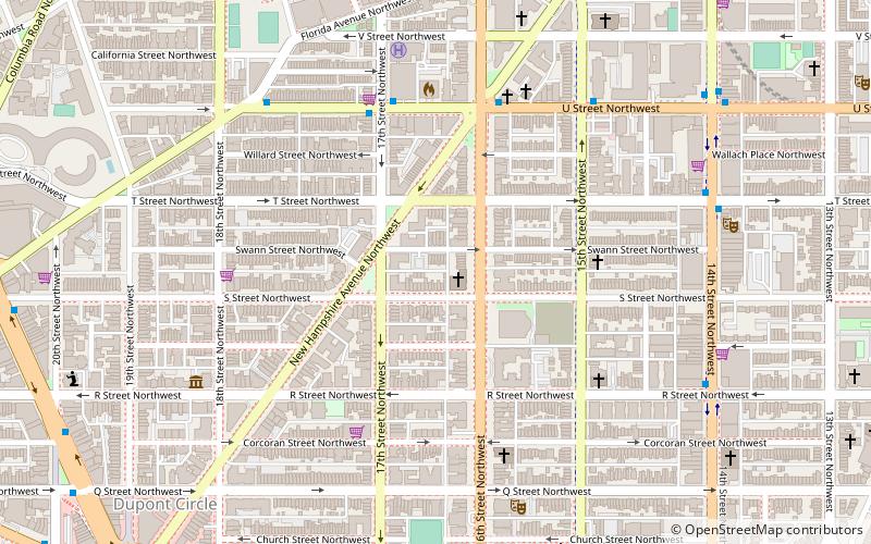
Map
Facts and practical information
Olympics Grounds was a baseball grounds located in Washington, D.C. It was home to the Washington Olympics of the National Association in 1871–1872 and home to the short-lived Washington clubs of 1873 and 1875, including the Washington Blue Legs. It is considered a major league ballpark by those who count the NA as a major league. ()
Coordinates: 38°54'52"N, 77°2'15"W
Address
Northwest Washington (Dupont Circle)Washington D.C.
ContactAdd
Social media
Add
Getting there by public transportation
Public transportation stops near this location
- Metro
- Bus
 Metro
Metro
- Calculate routeDupont Circle 12 min walk
- Calculate routeU Street 17 min walk
- Calculate routeMTA Bus Stop 24 min walk
Day trips
Olympics Grounds – popular in the area (distance from the attraction)
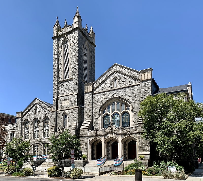
Nearby attractions include: Black Cat, Halo, House of the Temple, Foundry United Methodist Church.


Frequently Asked Questions (FAQ)
Which popular attractions are close to Olympics Grounds?
Nearby attractions include Universalist National Memorial Church, Washington D.C. (1 min walk), Sixteenth Street Historic District, Washington D.C. (2 min walk), House of the Temple, Washington D.C. (2 min walk), 16th Street NW, Washington D.C. (3 min walk).
How to get to Olympics Grounds by public transport?
The nearest stations to Olympics Grounds:
Metro
Bus
Metro
- Dupont Circle • Lines: Rd (12 min walk)
- U Street • Lines: Gr, Yl (17 min walk)
Bus
- MTA Bus Stop • Lines: 305, 315 (24 min walk)