Port of Boston, Boston

Gallery (6)
Map

Map

Gallery
Facts and practical information
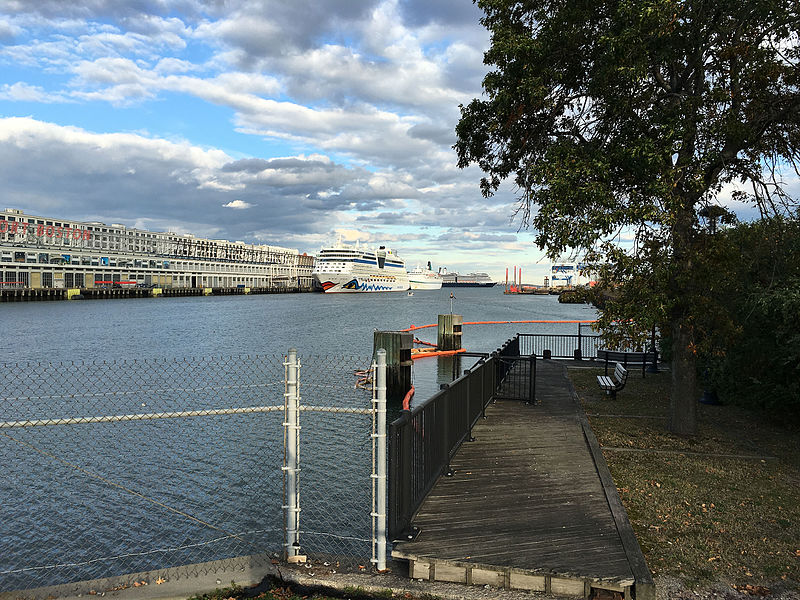
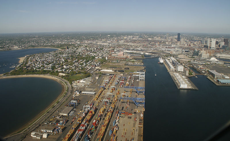
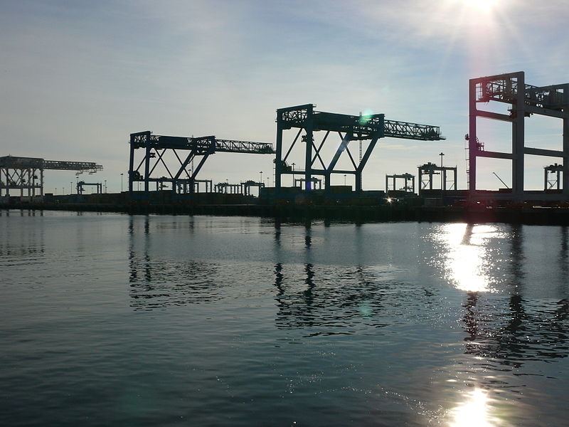
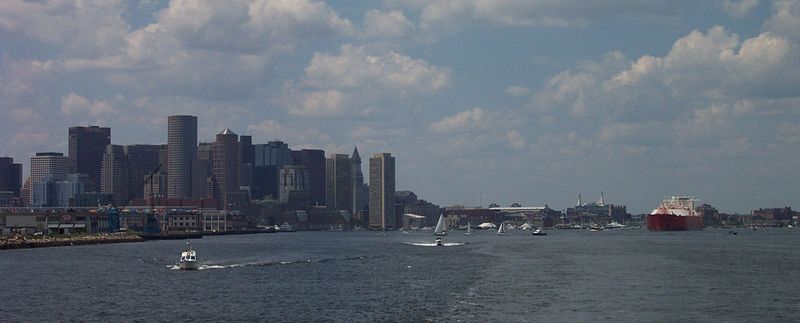
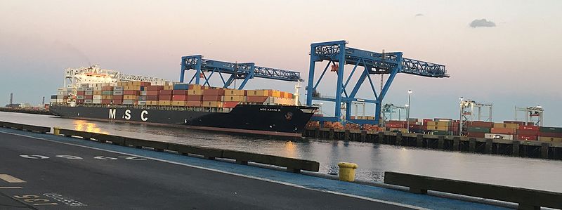
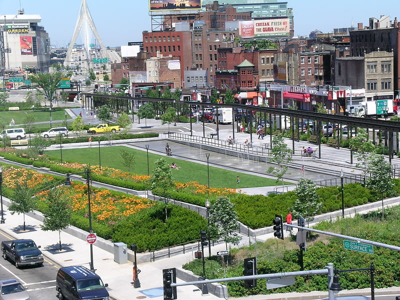
The Port of Boston is a major seaport located in Boston Harbor and adjacent to the City of Boston. It is the largest port in Massachusetts and one of the principal ports on the East Coast of the United States. ()
Getting there by public transportation
Public transportation stops near this location
- Metro
- Bus
- Light rail
- Train
 Metro
Metro
- Calculate routeMaverick 11 min walk
- Calculate routeAirport 21 min walk
- Calculate routeAquarium 22 min walk
- Calculate routeHaymarket 28 min walk
- Calculate routeHaymarket 29 min walk
- Calculate routeGovernment Center 31 min walk
- Calculate routeSummer St opp Melcher St 30 min walk
- Calculate routeFederal St @ Franklin St 30 min walk
- Calculate routeOtis St @ Summer St 33 min walk
- Calculate routeBoston South Station 33 min walk
Maps MBTA Subway
MBTA SubwayDay trips


Frequently Asked Questions (FAQ)
Which popular attractions are close to Port of Boston?
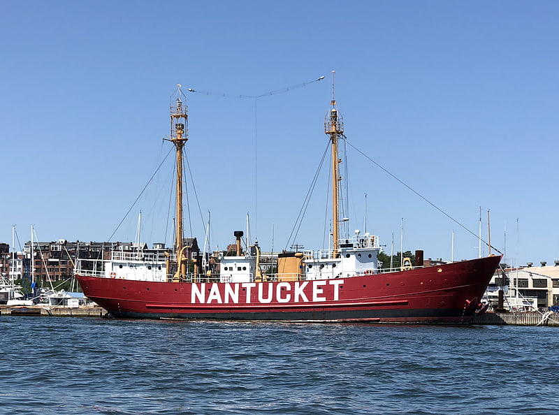
Nearby attractions include Flynn Cruiseport Boston, Boston (1 min walk), Piers Park, Boston (2 min walk), United States lightship Nantucket, Boston (5 min walk), Maverick Square, Boston (12 min walk).
How to get to Port of Boston by public transport?
The nearest stations to Port of Boston:
Metro
Light rail
Bus
Train
Metro
- Maverick • Lines: Blue (11 min walk)
- Airport • Lines: Blue (21 min walk)
Light rail
- Haymarket • Lines: C, E (29 min walk)
- Government Center • Lines: C, D, E (31 min walk)
Bus
- Summer St opp Melcher St • Lines: 7 (30 min walk)
- Federal St @ Franklin St • Lines: 504 (30 min walk)
Train
- Boston South Station (33 min walk)