Point Pinole Regional Shoreline, Richmond
Map
Gallery
Facts and practical information
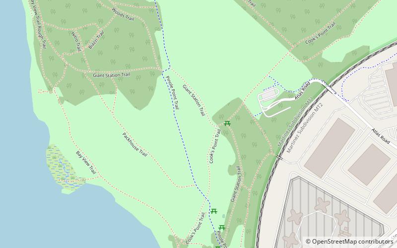
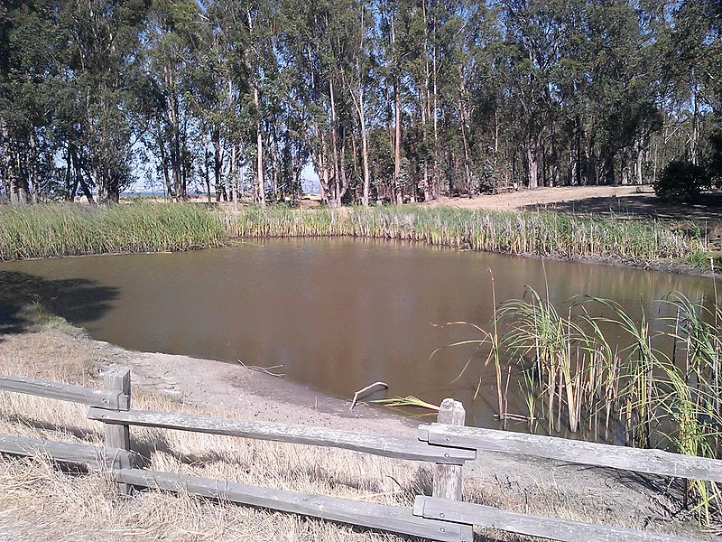
Point Pinole Regional Shoreline is a regional park on the shores of the San Pablo Bay, California, in the United States. It is approximately 2,315 acres in area, and is operated by the East Bay Regional Park District. It includes the Dotson Family Marsh and the Point Pinole Lagoon and hosts the North Richmond Shoreline Festival. ()
Created: 1973Elevation: 72 ft a.s.l.Coordinates: 37°59'56"N, 122°21'32"W
Day trips
Point Pinole Regional Shoreline – popular in the area (distance from the attraction)
Nearby attractions include: Prologis Hilltop Center, Richmond Country Club, Benoit-Casper Brewing, San Pablo Lytton Casino.
Frequently Asked Questions (FAQ)
How to get to Point Pinole Regional Shoreline by public transport?
The nearest stations to Point Pinole Regional Shoreline:
Bus
Bus
- West County Detention Facility • Lines: 376, 71 (12 min walk)
- Point Pinole Business Park • Lines: 376, 71 (15 min walk)

