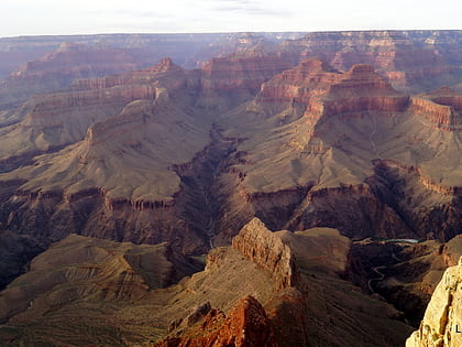
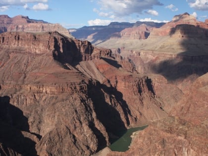
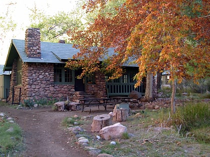
River Trail, Grand Canyon National Park
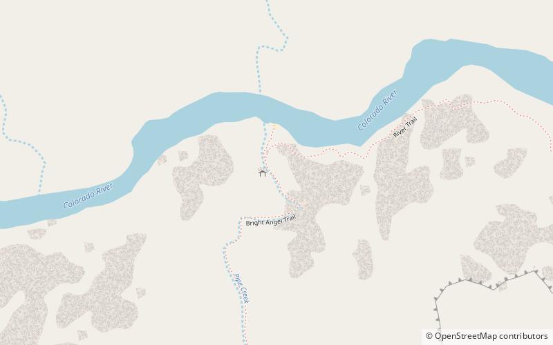
Map
Gallery
Facts and practical information
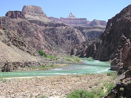
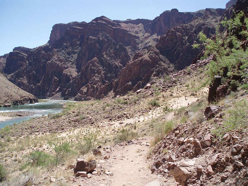
The River Trail is a hiking trail in Grand Canyon National Park, located in the U.S. state of Arizona. This trail connects the end of the Bright Angel Trail with Phantom Ranch and the South Kaibab Trail. ()
Alternative names: Length: 2 miMaximum elevation: 2800 ftMinimal elevation: 2400 ftSeason: All yearCoordinates: 36°5'53"N, 112°6'40"W
Address
Grand Canyon National Park
ContactAdd
Social media
Add
Day trips
River Trail – popular in the area (distance from the attraction)
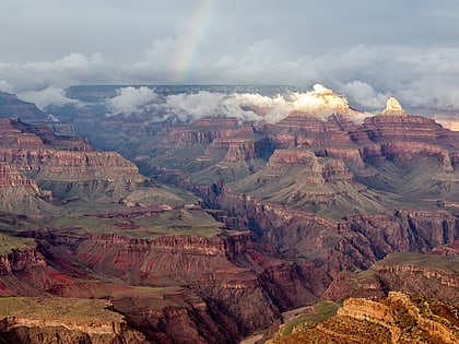
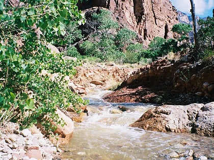
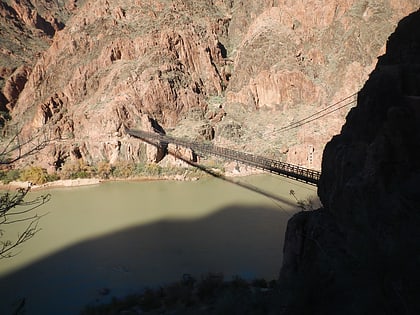
Nearby attractions include: Grand Canyon, Clear Creek Trail, Black Suspension Bridge, Cope Butte.
Frequently Asked Questions (FAQ)
Which popular attractions are close to River Trail?
Nearby attractions include Plateau Point, Grand Canyon National Park (12 min walk), Grand Canyon, Grand Canyon National Park (16 min walk), Cope Butte, Grand Canyon National Park (20 min walk).
