South Kaibab Trail, Grand Canyon National Park


Facts and practical information
The South Kaibab Trail offers a breathtaking journey into the heart of the Grand Canyon National Park, one of the United States' most iconic natural wonders. This well-maintained trail provides hikers with some of the most spectacular views of the Grand Canyon, descending from the rim to the canyon floor.
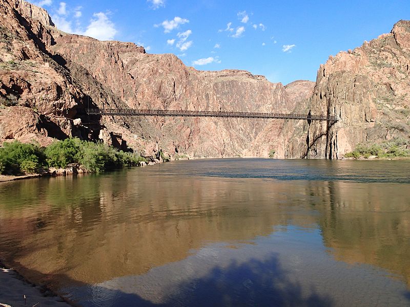
Starting at Yaki Point on the South Rim, the South Kaibab Trail covers a distance of approximately 7 miles to the Colorado River and is steeper than the more commonly traveled Bright Angel Trail. Unlike other trails in the area, there is no shade or water available along the South Kaibab Trail, making it imperative that hikers are well-prepared with plenty of water and sun protection, particularly during the hot summer months.
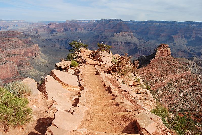
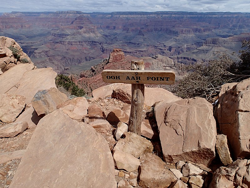
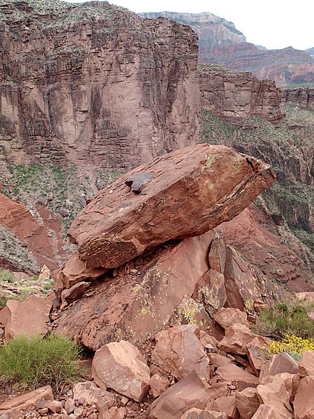
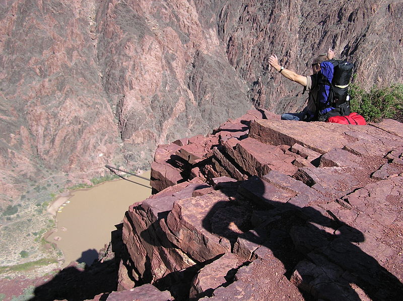
As hikers descend, they are treated to a series of striking panoramic vistas, including famous landmarks such as O'Neill Butte and Skeleton Point. The trail also offers a unique perspective on the canyon's geological history, with each layer of rock representing millions of years of the Earth's past.
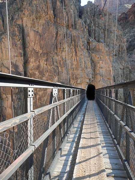
The South Kaibab Trail is generally recommended for experienced hikers, especially for those attempting to hike to the river and back in one day, which is strongly discouraged due to the strenuous nature of the ascent and the extreme heat that can occur at the canyon's base. Many choose to hike to Cedar Ridge or Skeleton Point and back as a day hike, while others may opt to hike to the bottom and stay overnight at Phantom Ranch or the Bright Angel Campground before trekking back up.
- Bus
 Bus
Bus
- Calculate routeSouth Kaibab Trailhead 2 min walk
- Calculate routeYaki Point 10 min walk
- Calculate routePipe Creek Vista 19 min walk


Frequently Asked Questions (FAQ)
How to get to South Kaibab Trail by public transport?
Bus
- South Kaibab Trailhead • Lines: Kaibab/Rim Route (East-bound) (2 min walk)
- Yaki Point • Lines: Kaibab/Rim Route (East-bound), Kaibab/Rim Route (West-bound) (10 min walk)