Highland Park, Boston
Map
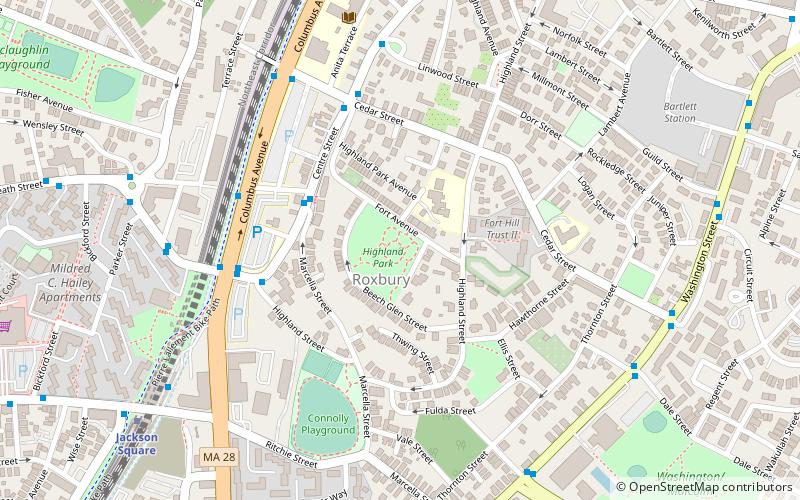
Map

Facts and practical information
Roxbury High Fort is a historic fort site on Beech Glen Street at Fort Avenue in the Roxbury neighborhood of Boston, Massachusetts. The site now contains a small park and the Cochituate Standpipe, also known as Fort Hill Tower, built in 1869. The fort site was added to the National Register of Historic Places in 1973. The site inspired the name of the Fort Hill neighborhood, which surrounds the area of the High Fort. ()
Built: 1860 (166 years ago)Elevation: 138 ft a.s.l.Coordinates: 42°19'31"N, 71°5'41"W
Address
Roxbury (Highland Park)Boston
ContactAdd
Social media
Add
Day trips
Highland Park – popular in the area (distance from the attraction)
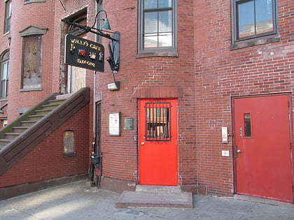
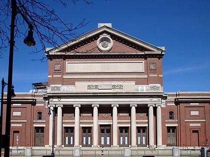
Nearby attractions include: Wally's Cafe, Matthews Arena, Symphony Hall, Basilica and Shrine of Our Lady of Perpetual Help.
Frequently Asked Questions (FAQ)
Which popular attractions are close to Highland Park?
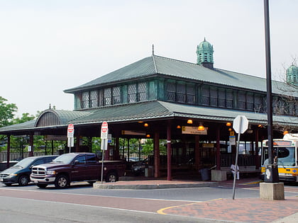
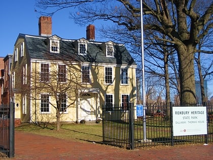
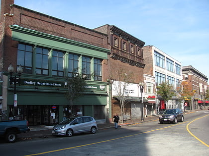
Nearby attractions include Roxbury, Boston (2 min walk), Southwest Corridor Park, Boston (6 min walk), Edward Everett Hale House, Boston (7 min walk), Kostachuk Square, Boston (9 min walk).
How to get to Highland Park by public transport?
The nearest stations to Highland Park:
Metro
Bus
Light rail
Train
Metro
- Jackson Square • Lines: Orange (9 min walk)
- Roxbury Crossing • Lines: Orange (11 min walk)
Bus
- Malcolm X Blvd @ King St • Lines: 23 (11 min walk)
Light rail
- Longwood Medical Area • Lines: E (21 min walk)
- Brigham Circle • Lines: E (21 min walk)
Train
- Ruggles (21 min walk)

 MBTA Subway