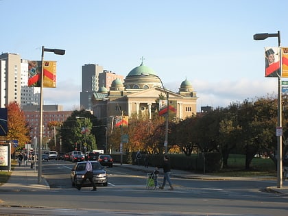
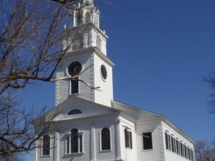
First Church in Roxbury, Boston
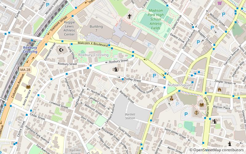
Map
Map

Facts and practical information
The First Church in Roxbury, also known as the First Church of Roxbury is the current headquarters of the Unitarian Universalist Urban Ministry. A church on this site has been in use since 1632 when early English settlers built the first meetinghouse. Since then, the meetinghouse has been rebuilt four times, and its appearance today reflects how the meetinghouse looked in the late 19th and early 20th centuries. ()
Coordinates: 42°19'46"N, 71°5'21"W
Address
6 Dudley StreetRoxbury (Highland Park)Boston
ContactAdd
Social media
Add
Day trips
First Church in Roxbury – popular in the area (distance from the attraction)
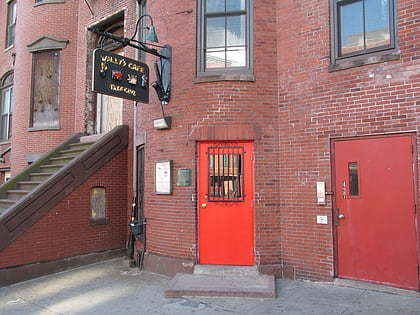
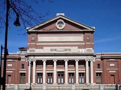
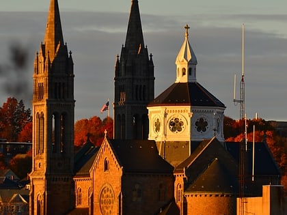
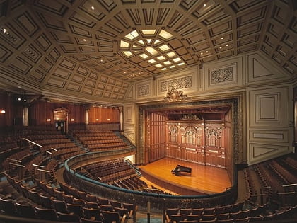
Nearby attractions include: Wally's Cafe, Matthews Arena, Symphony Hall, Basilica and Shrine of Our Lady of Perpetual Help.
Frequently Asked Questions (FAQ)
Which popular attractions are close to First Church in Roxbury?
Nearby attractions include John Eliot Square District, Boston (3 min walk), Roxbury Heritage State Park, Boston (3 min walk), Edward Everett Hale House, Boston (5 min walk), Islamic Society of Boston, Boston (7 min walk).
How to get to First Church in Roxbury by public transport?
The nearest stations to First Church in Roxbury:
Bus
Metro
Train
Light rail
Bus
- Malcolm X Blvd opp O'Bryant HS • Lines: 23 (3 min walk)
Metro
- Roxbury Crossing • Lines: Orange (10 min walk)
- Ruggles • Lines: Orange (13 min walk)
Train
- Ruggles (13 min walk)
- Uphams Corner (33 min walk)
Light rail
- Museum of Fine Arts • Lines: E (17 min walk)
- Longwood Medical Area • Lines: E (18 min walk)
 MBTA Subway