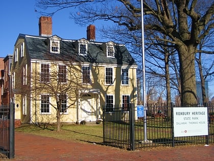
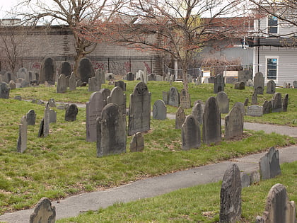
Nubian Square, Boston
Map
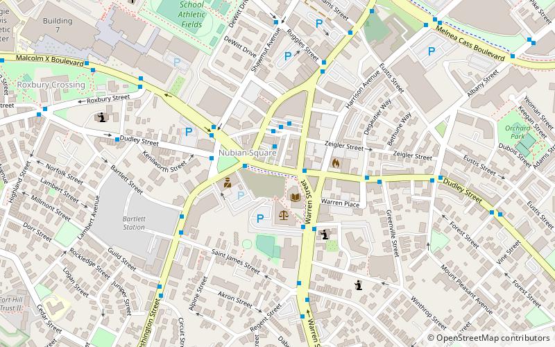
Map

Facts and practical information
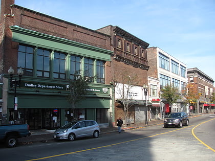
Nubian Square is the primary commercial center of the Roxbury neighborhood of Boston, Massachusetts, located at the intersection of Dudley Street and Washington Street. It has long been the center of African American culture in Boston, prior to which the area was primarily Jewish. ()
Coordinates: 42°19'43"N, 71°5'3"W
Address
Roxbury (Washington Park)Boston
ContactAdd
Social media
Add
Day trips
Nubian Square – popular in the area (distance from the attraction)
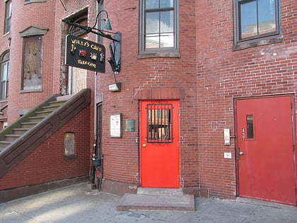
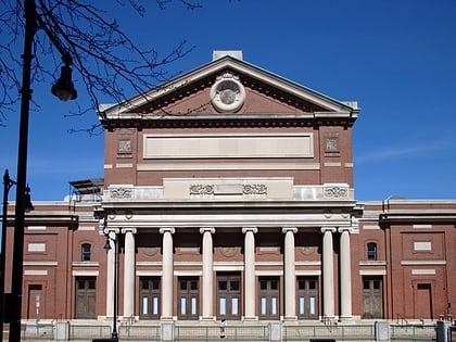
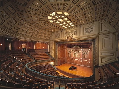
Nearby attractions include: Wally's Cafe, Matthews Arena, Symphony Hall, Jordan Hall.
Frequently Asked Questions (FAQ)
Which popular attractions are close to Nubian Square?
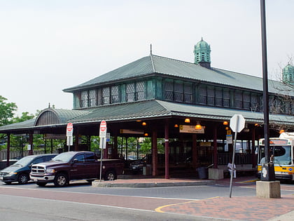
Nearby attractions include Dudley Station Historic District, Boston (3 min walk), Greenville Street Historic District, Boston (5 min walk), Twelfth Baptist Church, Boston (7 min walk), First Church in Roxbury, Boston (7 min walk).
How to get to Nubian Square by public transport?
The nearest stations to Nubian Square:
Bus
Train
Metro
Light rail
Bus
- Nubian Square Station (2 min walk)
- Nubian Station - Platform D • Lines: 23 (2 min walk)
Train
- Ruggles (16 min walk)
- Newmarket (25 min walk)
Metro
- Ruggles • Lines: Orange (16 min walk)
- Roxbury Crossing • Lines: Orange (16 min walk)
Light rail
- Northeastern • Lines: E (22 min walk)
- Museum of Fine Arts • Lines: E (22 min walk)
 MBTA Subway