Royal Arch Route, Grand Canyon National Park
Map

Gallery

Facts and practical information
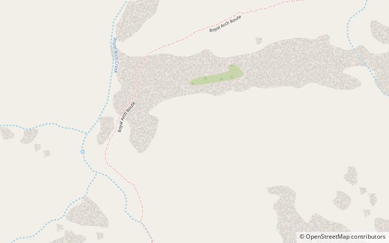
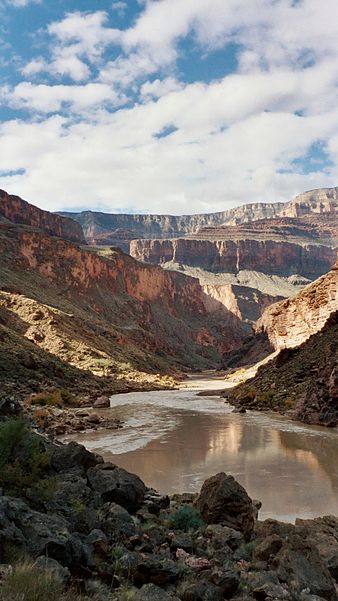
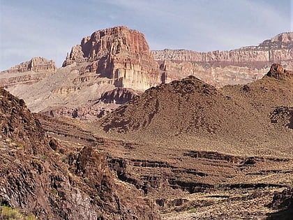
The Royal Arch Route is a hiking trail on the South Rim of the Grand Canyon National Park, located in the U.S. state of Arizona. ()
Maximum elevation: 6646 ftMinimal elevation: 2140 ftCoordinates: 36°11'24"N, 112°26'60"W
Address
Grand Canyon National Park
ContactAdd
Social media
Add
Day trips
Royal Arch Route – popular in the area (distance from the attraction)
Nearby attractions include: Fan Island, Explorers Monument, Wallace Butte, South Bass Trail.


