Explorers Monument

Gallery (4)
Map

Map
Gallery
Facts and practical information
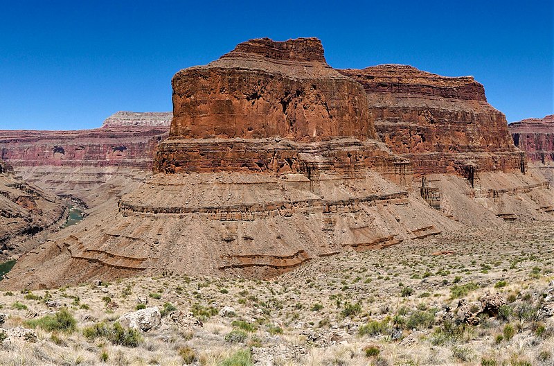
Explorers Monument is a 4,572-foot-elevation summit located in the Grand Canyon, in Coconino County of northern Arizona, US. It is situated 3.5 miles due west of Mount Huethawali, within a meander of the Colorado River. It towers over 2,400 feet directly above the river, providing rafters a view of this landmark. Explorers Monument is topped by rock of the Pennsylvanian-Permian Supai Group which overlays cliff-forming Mississippian Redwall Limestone, which in turn overlays Cambrian Tonto Group. According to the Köppen climate classification system, Explorers Monument is located in a cold semi-arid climate zone. ()
Coordinates: 36°12'17"N, 112°26'44"W
Location
Arizona
ContactAdd
Social media
Add
Day trips


